Sundklakkstraumen Bridge
Map

Map

Facts and practical information
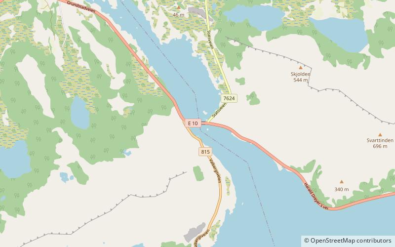
The Sundklakkstraumen Bridge is a cantilever road bridge that crosses the Sundklakkstraumen strait between the islands of Gimsøya and Vestvågøya in Nordland county, Norway. The bridge is 271 metres long and the main span is 90 metres long. The Sundklakkstraumen Bridge was opened in 1976 and it is one of many bridges that connect the islands of the Lofoten archipelago via the European route E10 highway. ()
Local name: Sundklakkstraumen bru Opened: 1976 (50 years ago)Length: 889 ftCoordinates: 68°16'6"N, 14°9'22"E
Location
Nordland
ContactAdd
Social media
Add
Day trips
Sundklakkstraumen Bridge – popular in the area (distance from the attraction)
Nearby attractions include: Gimsøy Church, Gimsøystraumen Bridge, Vågakallen, Valberg Church.


