Esmarkbreen
#1797 among destinations in Norway

Facts and practical information
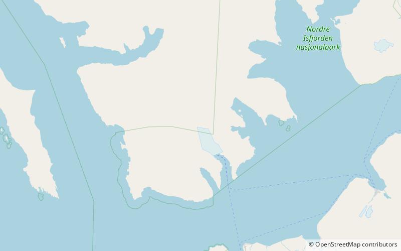
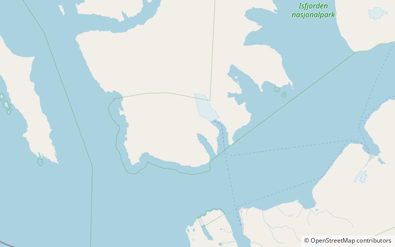
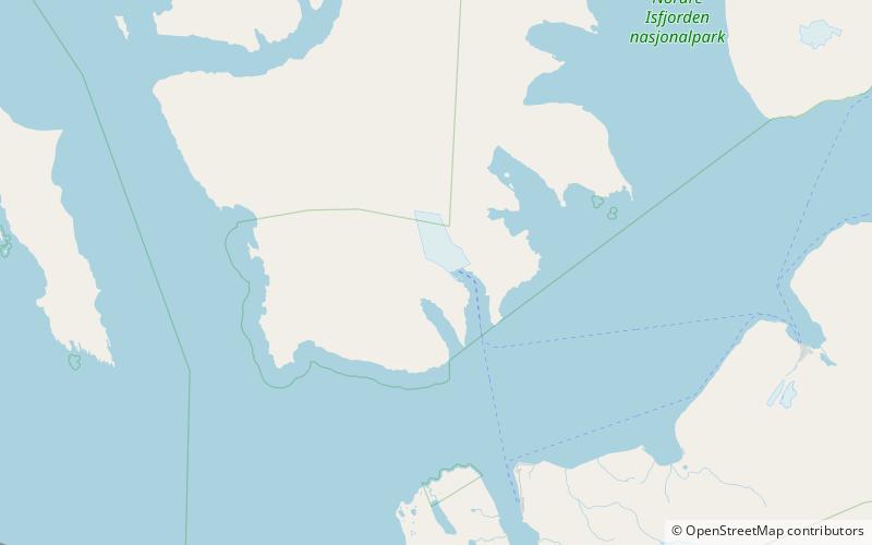
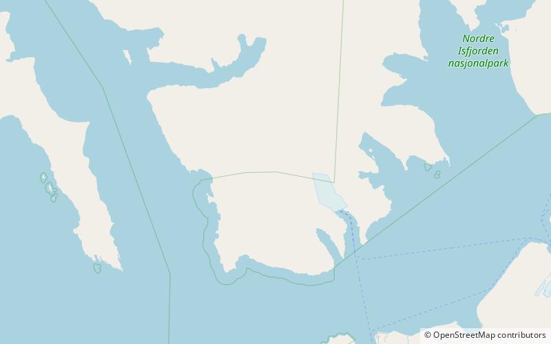
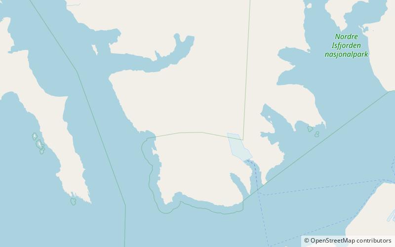
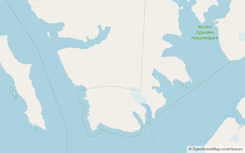
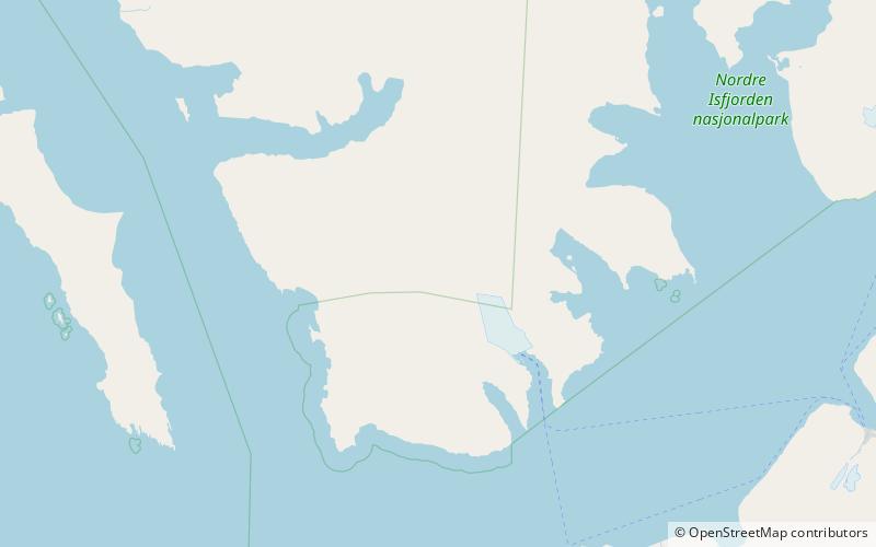
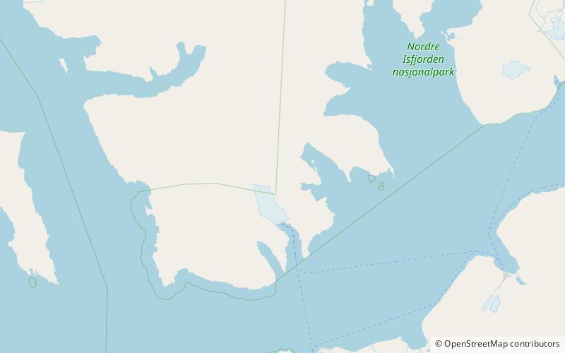
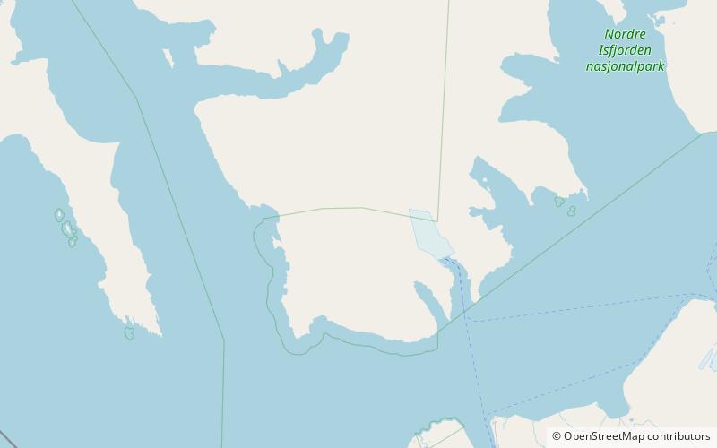
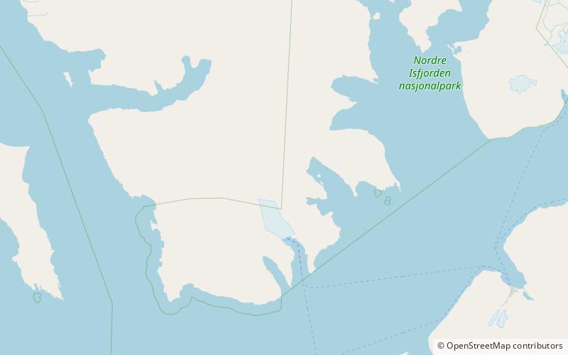
Esmarkbreen is a glacier in Oscar II Land at Spitsbergen, Svalbard. It is named after geologist Jens Esmark. The glacier has a length of 15 kilometers, and debouches into the bay Ymerbukta at the northern side of Isfjorden. ()
SvalbardNorway
Esmarkbreen plan & book
Unleash the traveler in you — discover the cheapest flight deals, find the perfect hotel or hostel nearby, and search for the best car rental prices. Travel at your own pace to discover new places and enjoy your journey.
Esmarkbreen – popular in the area (distance from the attraction)
Nearby attractions include: Geologryggen, Klaratoppen, Borebreen, Stallofjellet.
 Natural attraction, Mountain
Geologryggen, Nordre Isfjorden National Park
124 min walk • Geologryggen is a mountain ridge in Oscar II Land at Spitsbergen, Svalbard. The ridge has a length of about four kilometers, and is located between Kjerulfbreen and Esmarkbreen. Geologryggen is included in the Nordre Isfjorden National Park.
 Natural attraction, Mountain
Klaratoppen, Nordre Isfjorden National Park
120 min walk • Klaratoppen is a mountain in Oscar II Land at Spitsbergen, Svalbard. It has a height of 524 m.a.s.l. and is located on the ridge of Värmlandryggen. The mountain is named after the Swedish river Klarälven.
 Natural attraction, Natural feature
Borebreen, Nordre Isfjorden National Park
147 min walk • Borebreen is a glacier in Oscar II Land at Spitsbergen, Svalbard. The glacier has a length of about 22 kilometers. It is located at the northwestern side of Isfjorden, west of Helsinglandryggen, flowing towards Borebukta.
 Natural attraction, Mountain
Stallofjellet, Nordre Isfjorden National Park
117 min walk • Stallofjellet is a mountain in Oscar II Land at Spitsbergen, Svalbard. It reaches a height of 735 m.a.s.l. The mountain is located between the glaciers of Venernbreen, Stallobreen and Eidembreen, and has an extension of about three kilometers.
 Natural attraction, Nature, Mountain
Heksefjellet
135 min walk • Heksefjellet is a mountain in Oscar II Land at Spitsbergen, Svalbard. It reaches a height of 774 m.a.s.l. and is located between the glaciers of Heksebreen and Stallobreen, south of Eidembreen.
 Natural attraction, Nature, Mountain
Tussekallen
88 min walk • Tussekallen is a mountain in Oscar II Land at Spitsbergen, Svalbard. It has a height of 729 m.a.s.l. and is located between the glaciers of Venernbreen and Eidembreen. Tussekallen is part of the mountainous district of Trollheimen.
 Natural attraction, Nature, Mountain
Runebomma
87 min walk • Runebomma is a mountain in Oscar II Land at Spitsbergen, Svalbard. It has a height of 729 m.a.s.l. and is located between the glaciers of Venernbreen, Heksebreen and Eidembreen. Runebomma is part of the mountainous district of Trollheimen.
 Natural attraction, Natural feature
Nansenbreen, Nordre Isfjorden National Park
71 min walk • Nansenbreen is a glacier in Oscar II Land at Spitsbergen, Svalbard. It has a length of about fourteen kilometers and is located west of Gestriklandkammen at the northwestern side of Isfjorden, debouching into the bay of Borebukta.
 Natural attraction, Natural feature
Venernbreen, Nordre Isfjorden National Park
129 min walk • Venernbreen is a glacier in Oscar II Land at Spitsbergen, Svalbard. It has a length of about fifteen kilometers, and is located between the mountains of Sparrefjellet and Kinnefjellet. The glacier is named after the Swedish lake of Vänern.
 Natural attraction, Natural feature
Gestriklandkammen, Nordre Isfjorden National Park
78 min walk • Gestriklandkammen is a mountain range in Oscar II Land at Spitsbergen, Svalbard. It has a length of about eleven kilometers and is located between the glaciers of Borebreen and Nansenbreen. It is named after the Swedish district of Gästrikland.
