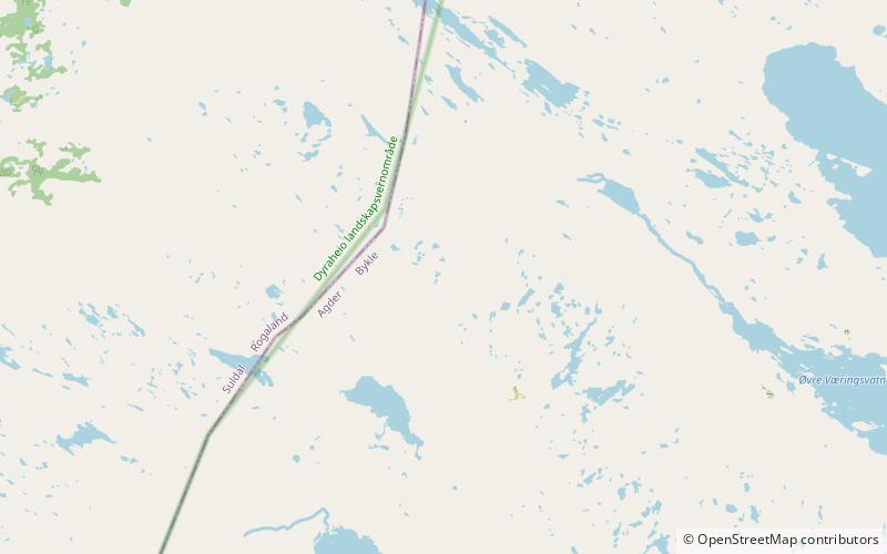
Skyvatn
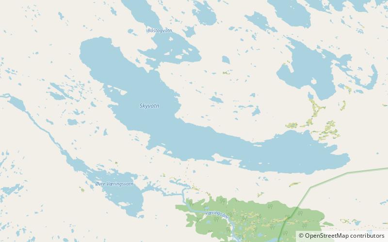
Map
Facts and practical information
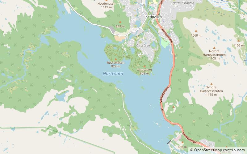
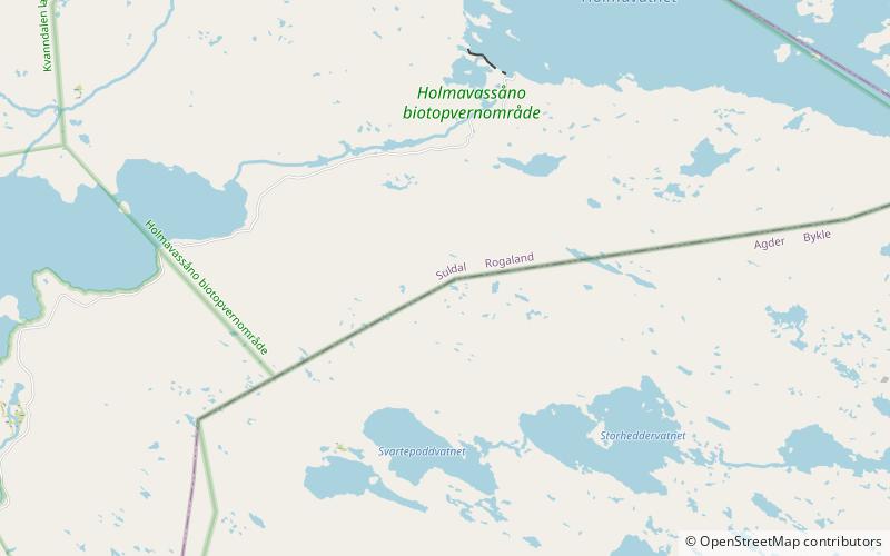
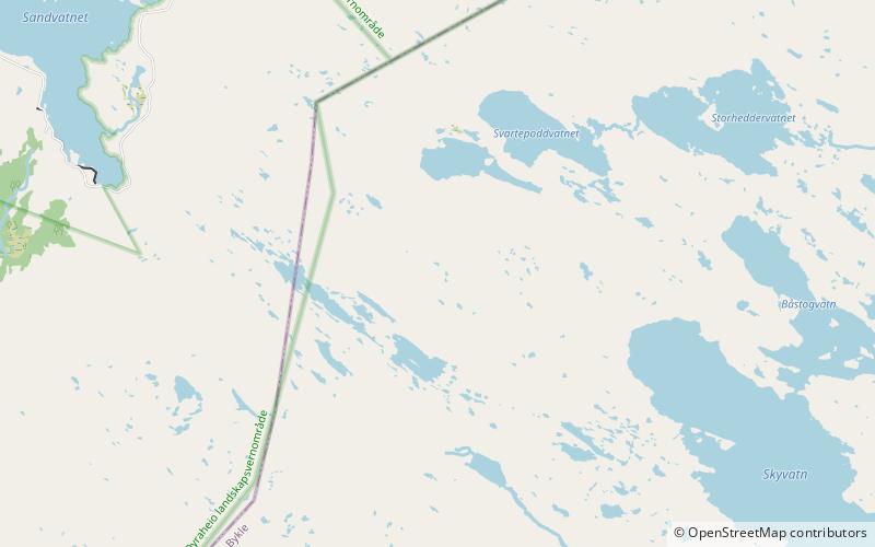
Skyvatn is a lake in the northern part of the municipality of Bykle in Agder county, Norway. The lake is located south of the lake Holmavatnet and northwest of the lake Hartevatnet. The village of Hovden in Bykle is the nearest village, located about 9 kilometres southeast of the lake. ()
Alternative names: Length: 3.11 miWidth: 3937 ftElevation: 3694 ft a.s.l.Coordinates: 59°37'9"N, 7°11'17"E
Location
Aust-Agder
ContactAdd
Social media
Add
Day trips
Skyvatn – popular in the area (distance from the attraction)
Nearby attractions include: Hartevatnet, Steinheii, Storheddernuten, Skyvassnuten.
