Jølstravatn

Gallery (3)
Map
Map
Gallery
Facts and practical information
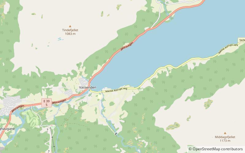
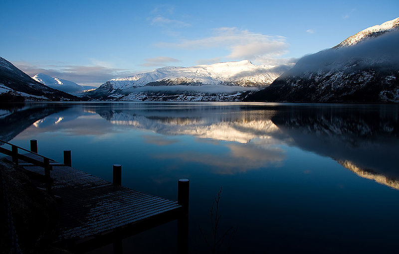
Jølstravatnet or Jølstravatn is a lake in Sunnfjord Municipality in Vestland county, Norway. The lake empties its water into the 20-kilometre long Jølstra river which then flows into the Førdefjorden. The impressive eastern arm of Jølstravatn is called Kjøsnesfjorden, although it is not a true fjord that is part of the sea. The villages of Skei, Helgheim, Ålhus, and Vassenden are located on the shores of the lake. ()
Local name: Jølstravatnet Area: 15.15 mi²Length: 18.64 miWidth: 5741 ftMaximum depth: 764 ftElevation: 679 ft a.s.l.Coordinates: 61°29'45"N, 6°7'54"E
Location
Sogn og Fjordane
ContactAdd
Social media
Add
Day trips


