Solbjørnvatnet, Moskenesøya
Map

Map

Facts and practical information
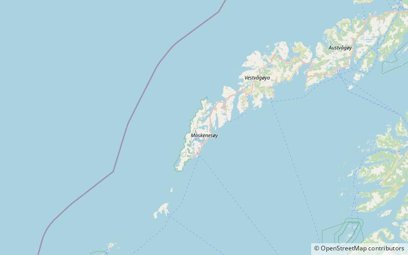
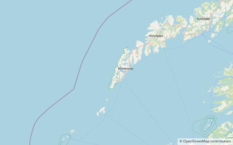
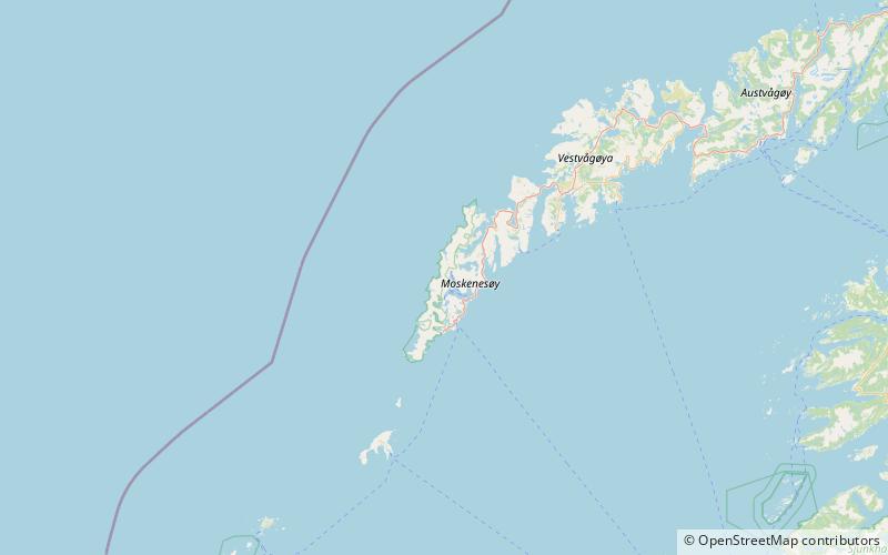
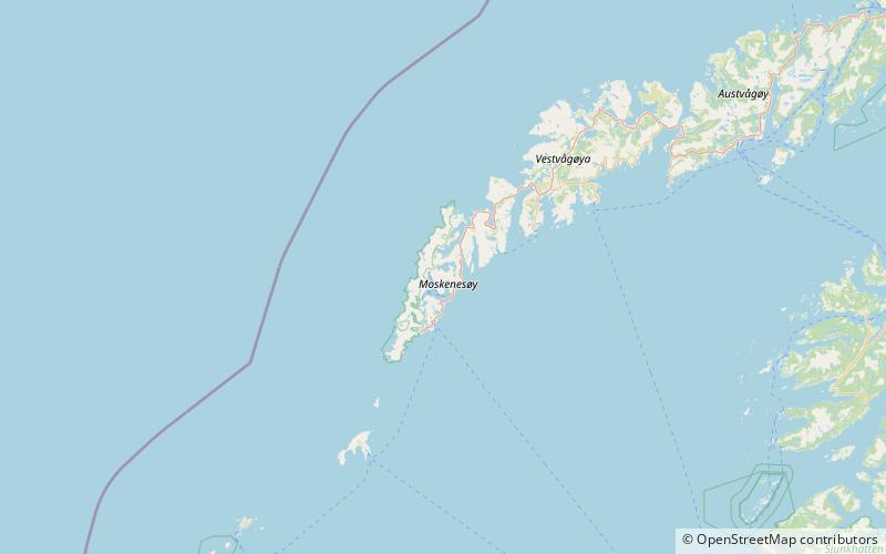
Solbjørnvatnet is a lake in Flakstad Municipality in Nordland county, Norway. The 5.02-square-kilometre lake is located on the northern part of the island of Moskenesøya, less than 900 metres west of the European route E10 highway. The mountain Klokktinden lies on the southern shore of the lake. ()
Alternative names: Length: 2.49 miWidth: 6562 ftElevation: 266 ft a.s.l.Coordinates: 68°0'7"N, 13°6'20"E
Address
Moskenesøya
ContactAdd
Social media
Add
Day trips
Solbjørnvatnet – popular in the area (distance from the attraction)
Nearby attractions include: Reine Church, Hermannsdalstinden, Helvetestinden, Kåkern Bridge.


