Svolværgeita, Austvågøy
Map

Map

Facts and practical information
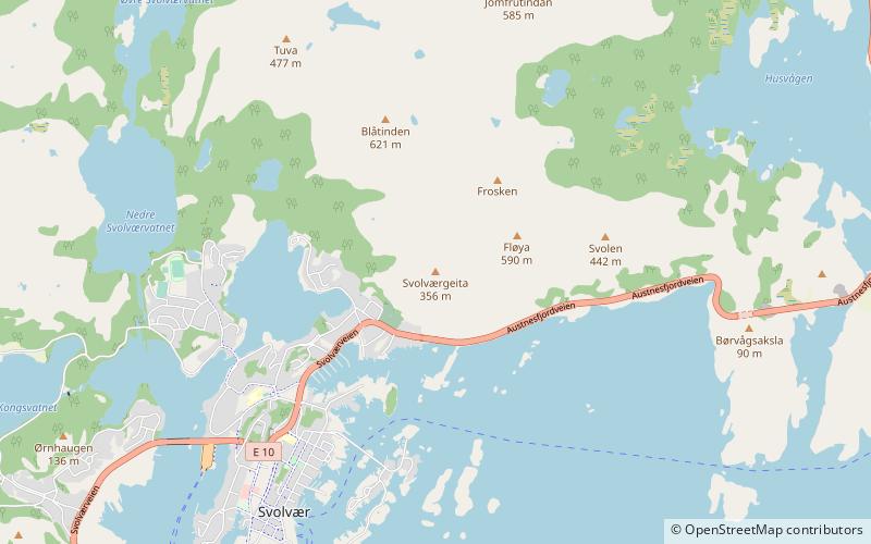
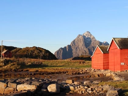
Svolværgeita or Geita is a 150-metre tall pinnacle at the southwest face of the mountain Fløyfjellet on the island of Austvågøya in the Lofoten archipelago. The 569-metre high Fløyfjellet is located on the edge of the town of Svolvær in Vågan Municipality in Nordland county, Norway. The first recorded time a climber reached the summit of Svolværgeita was on 1 August 1910 by Ferdinand Schjelderup, Alf Bonnevie Bryn and Carl Wilhelm Rubenson. ()
Address
Austvågøy
ContactAdd
Social media
Add
Day trips
Svolværgeita – popular in the area (distance from the attraction)
Nearby attractions include: Lofoten War Memorial Museum, Svolvær Church, Galleri Espolin, Svinøy Bridge.


