Stjørdalen
Map

Map

Facts and practical information
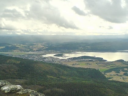
Stjørdalen is a valley and a traditional district in Trøndelag county, Norway. The valley follows the river Stjørdalselva river from the border with Sweden 75 kilometres to the west where it empties into the Trondheimsfjorden. The valley traverses the present-day municipalities of Stjørdal and Meråker. The European route E14 highway and the Meråker Line railway follow the river through the length of the valley. ()
Location
Nord-Trøndelag
ContactAdd
Social media
Add
Day trips
Stjørdalen – popular in the area (distance from the attraction)
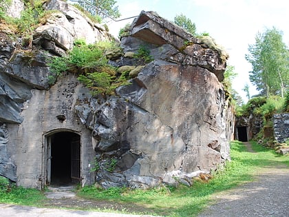
Nearby attractions include: Hegra Fortress, Flora Chapel.


