Blådalsvatnet

Map
Facts and practical information
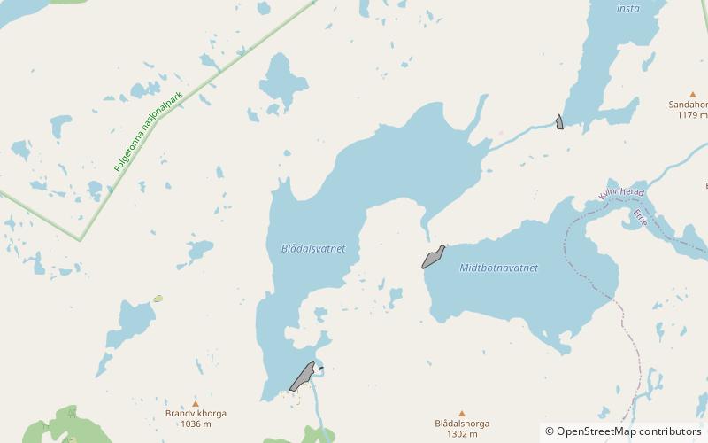
Blådalsvatnet is a glacial lake in the municipality of Kvinnherad in Vestland county, Norway. The 2.89-square-kilometre lake lies just outside the Folgefonna National Park, about 10 kilometres north of the village of Indre Matre. The lake is formed by the glacial runoff from the large Folgefonna glacier located just north of the lake. The lake is part of the water system used to power the Blåfalli kraftverk hydroelectric power station. ()
Alternative names: Length: 2.49 miWidth: 3937 ftElevation: 2326 ft a.s.l.Coordinates: 59°55'14"N, 6°10'19"E
Location
Hordaland
ContactAdd
Social media
Add
Day trips
Blådalsvatnet – popular in the area (distance from the attraction)
Nearby attractions include: Baroniet Rosendal, Søndre Folgefonna.

