Hollendardalen
Map
Facts and practical information
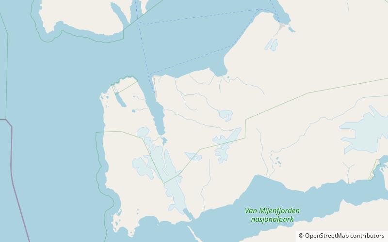
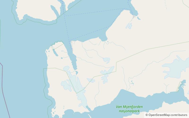
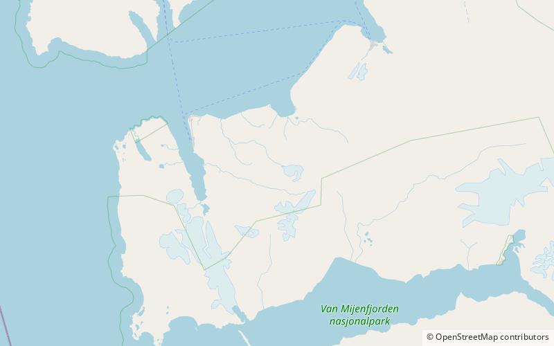
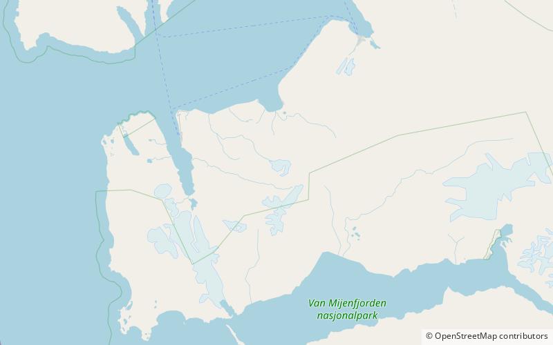
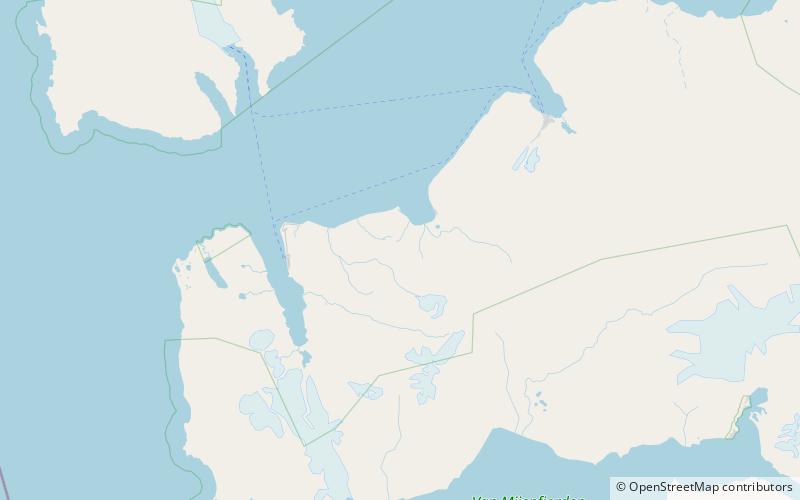
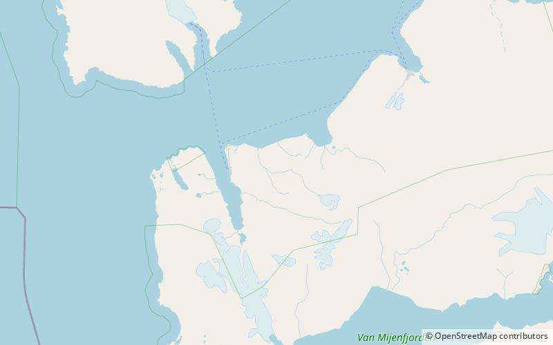
Hollendardalen is a valley in Nordenskiöld Land at Spitsbergen, Svalbard. The valley has a length of about sixteen kilometers, extending from Passfjellbreen to Isfjorden. Hollendarelva flows through the valley from Passfjordbreen, ending in Hollendarbukta. The mountain range Kolspissfjella is located south of the valley, and Kjeglefjella at the northern side. ()
Location
Svalbard
ContactAdd
Social media
Add
Day trips
Hollendardalen – popular in the area (distance from the attraction)
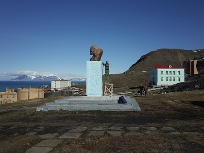
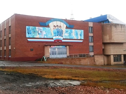
Nearby attractions include: Lenin statue, Pomor Museum, Grøndalen, Fossilfjellet.
