Kulivatnet

Map
Facts and practical information
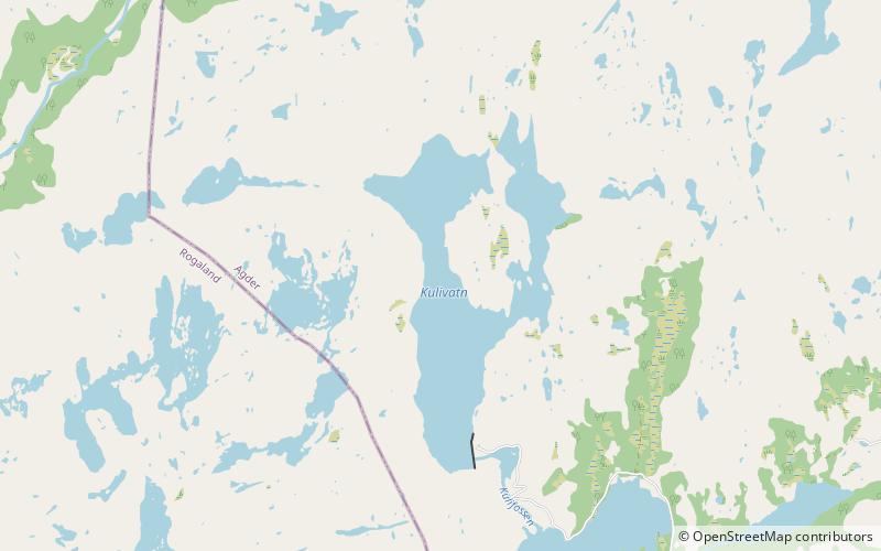
Kulivatnet is a lake in the municipality of Sirdal in Agder county, Norway. It sits just 400 metres downhill from the border with Bjerkreim municipality in Rogaland county. The 2.16-square-kilometre lake is somewhat V-shaped and it has a small dam on the southeastern side to hold water for hydroelectric power generation. The water flows south through a series of dammed lakes before emptying into the river Sira at Tonstad, about 8 kilometres away. ()
Alternative names: Length: 9843 ftWidth: 4593 ftElevation: 1988 ft a.s.l.Coordinates: 58°44'12"N, 6°37'9"E
Location
Vest-Agder
ContactAdd
Social media
Add
Day trips
Kulivatnet – popular in the area (distance from the attraction)
Nearby attractions include: Lunde Church, Tonstad Church, Tonstad.


