Nautgardstind, Jotunheimen
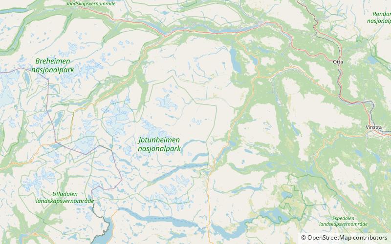
Map
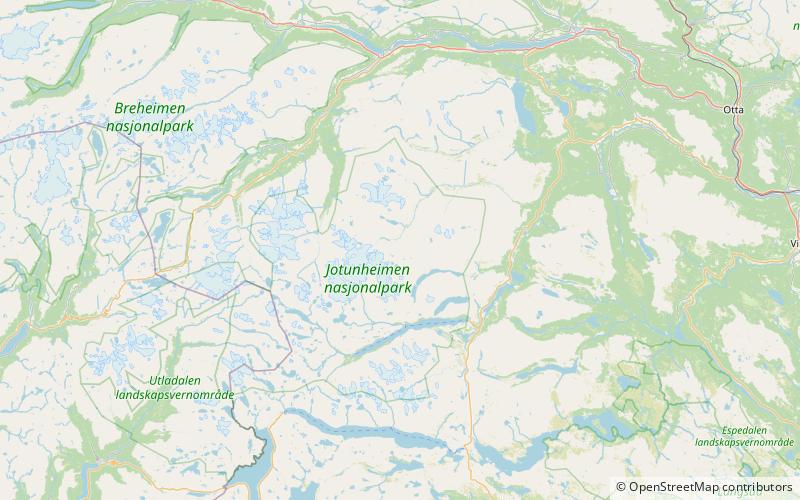
Map

Facts and practical information
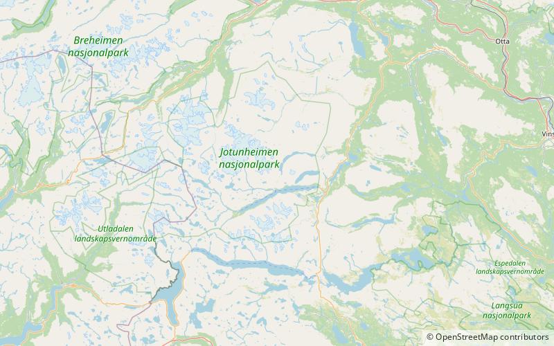
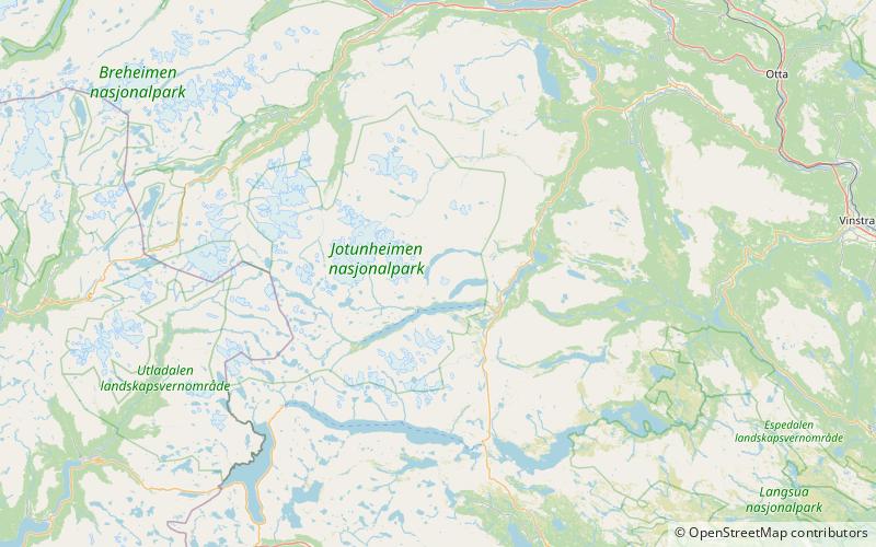
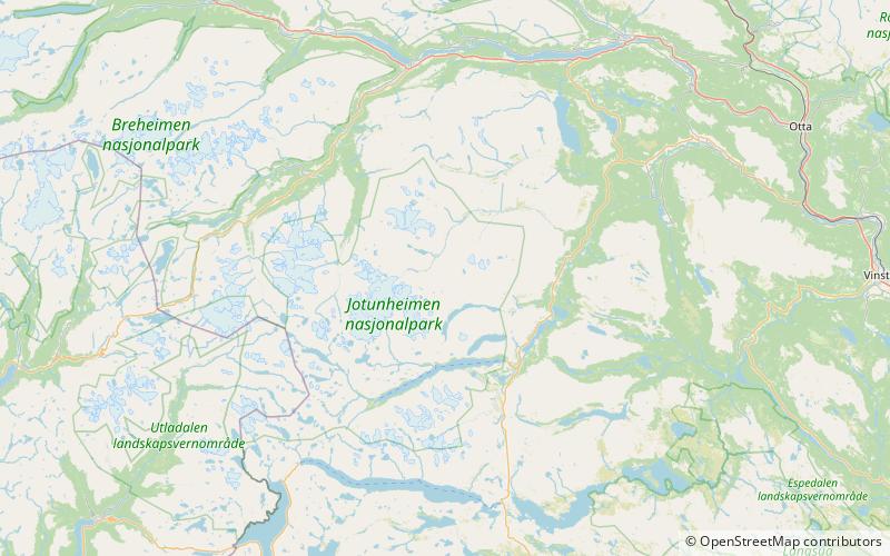
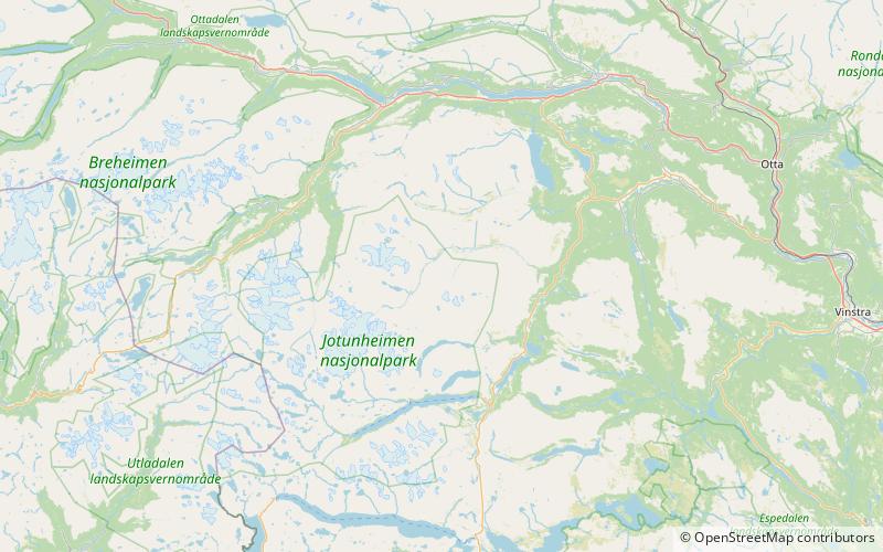
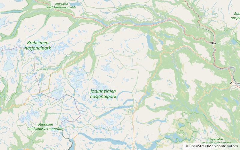
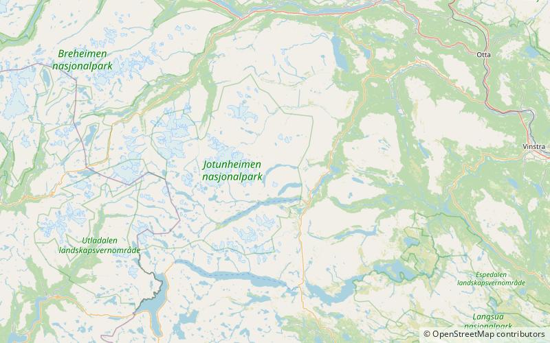
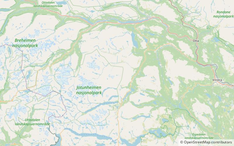
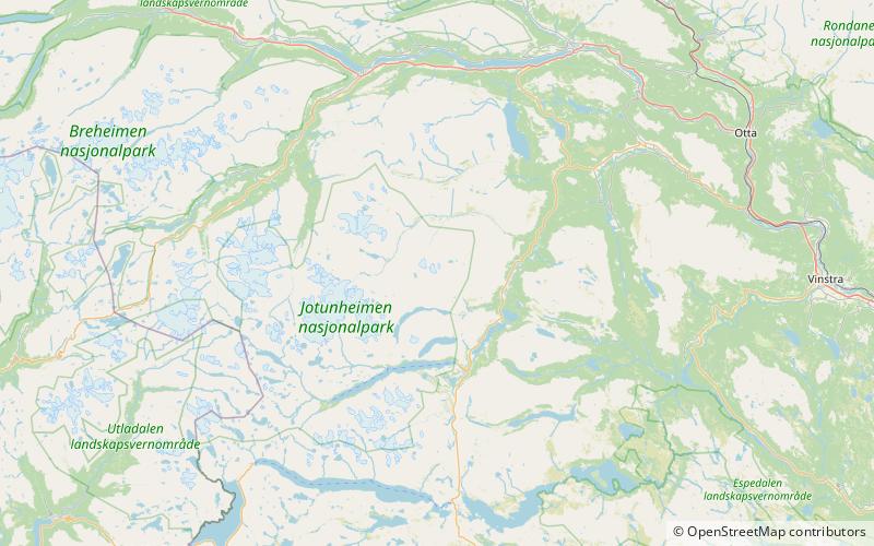
The Nautgardstind is a mountain in Norway, at 2,258 m above sea level. It is located within the municipality of Lom in Innlandet county and in the Jotunheimen mountain area. It is situated on the absolute eastern flank of Jotunheimen between the Veodalen and Sjodalen Valleys and is the southernmost and highest summit on a rather long ridge containing six more 2,000-m peaks. The summit can be observed along parts of National Route 51 from Båtskaret in the south to Hindsæter in the north. ()
Local name: Nautgardstinden First ascent: 1841Elevation: 7408 ftProminence: 1880 ftCoordinates: 61°36'12"N, 8°45'34"E
Address
Jotunheimen
ContactAdd
Social media
Add
Day trips
Nautgardstind – popular in the area (distance from the attraction)
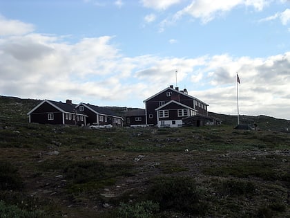
Nearby attractions include: Glitterheim, Nautgardsoksli, Styggehøi, Øvre Sjodalsvatnet.

