Kylling Bridge
Map

Map

Facts and practical information
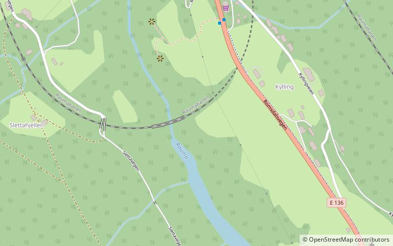
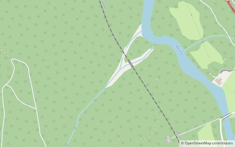
The Kylling Bridge is a railway bridge in Rauma Municipality in Møre og Romsdal county, Norway. The bridge crosses the Rauma River near the village of Verma in the upper part of the Romsdalen valley. The bridge is part of a double horseshoe curve that allows the railway to pass a narrow and steep section of the valley. It is one of the most photographed railway bridges in Norway. The Kylling Bridge is 76 metres long. The main span is 42 metres, and side spans are 10 metres and 8 metres. The clearance to the river below is 59.3 metres. ()
Local name: Kylling bru Opened: 29 November 1924 (101 years ago)Length: 249 ftCoordinates: 62°20'17"N, 8°3'39"E
Location
Møre og Romsdal
ContactAdd
Social media
Add
Day trips
Kylling Bridge – popular in the area (distance from the attraction)
Nearby attractions include: Vermafossen, Øverdalen Church, Stuguflåt Bridge, Dønttinden.


