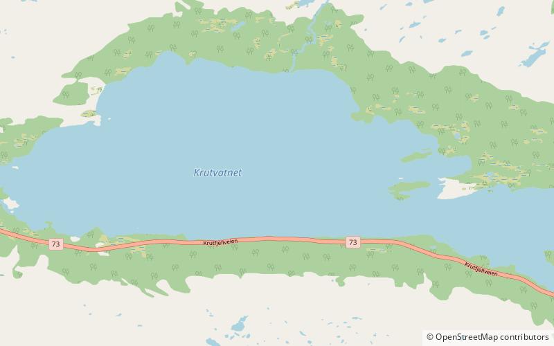
Krutvatnet
Map

Map

Facts and practical information
Krutvatnet or Kruvhtegenjaevrie is a lake in the municipality of Hattfjelldal in Nordland county, Norway. It lies about 7.5 kilometres east of the lake Røssvatnet and about 2 kilometres west of the border with Sweden. The Norwegian National Road 73 runs on the southern shore of the lake on its way from the village of Hattfjelldal to the village of Tärnaby in Sweden. ()
Alternative names: Length: 4.54 miWidth: 6890 ftElevation: 1932 ft a.s.l.Coordinates: 65°41'48"N, 14°24'15"E
Location
Nordland
ContactAdd
Social media
Add
