Møhlenpris, Bergen
Map

Map

Facts and practical information
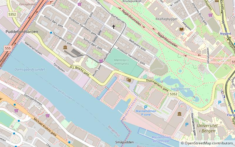
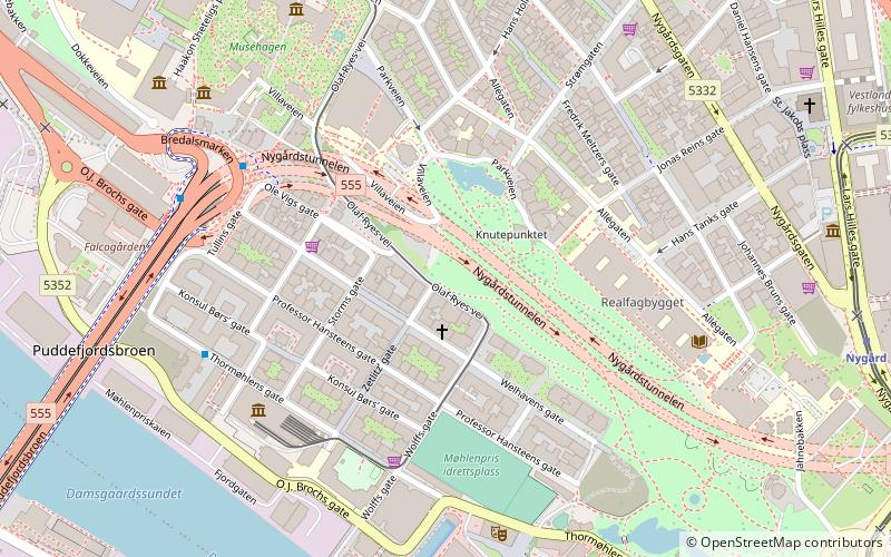
Møhlenpris is a neighbourhood in the city of Bergen in Vestland county, Norway. It is next to the Puddefjorden in the borough of Bergenhus. The neighbourhood is named after Jørgen Thor Møhlen, who was a shipowner, slave trader, innovator and businessman who established some industry at Møhlenpris in the late 17th century. Most of the buildings date from the late 19th and early 20th centuries. ()
Address
Bergenhus (Nygårdshøyden)Bergen
ContactAdd
Social media
Add
Day trips
Møhlenpris – popular in the area (distance from the attraction)
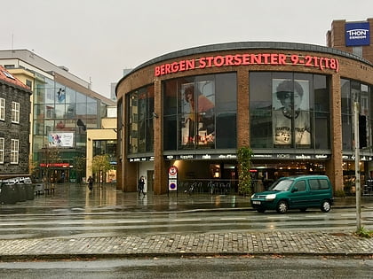
Nearby attractions include: Bergen Storsenter, St John's Church, Lille Lungegårdsvannet, Bergen Technical Museum.
Frequently Asked Questions (FAQ)
Which popular attractions are close to Møhlenpris?
Nearby attractions include Bergen's Electric Tramway, Bergen (3 min walk), Bergen Technical Museum, Bergen (4 min walk), Nygårdsparken, Bergen (4 min walk), Hulen, Bergen (4 min walk).
How to get to Møhlenpris by public transport?
The nearest stations to Møhlenpris:
Bus
Light rail
Tram
Train
Ferry
Bus
- Lotheveien • Lines: 13, 20 (6 min walk)
- Møhlenpris • Lines: 10, 441 Bergen busstasjon - Hjeltery, 441 Hjelteryggen - Bergen bussta, 445 Bergen busstasjon - Anglevik, 450 Bergen Busstasjon - Skogsski, 450 Skogsskiftet - Bergen Bussta, 460 Ågotnes terminal - Bergen bu, 460 Bergen busstasjon - Ågotnes, 50E (7 min walk)
Light rail
- Nygård • Lines: 1 (8 min walk)
- Florida • Lines: 1 (8 min walk)
Tram
- Nygård • Lines: 1 (8 min walk)
- Florida • Lines: 1 (8 min walk)
Train
- Bergen (16 min walk)
- Fløibanen, øvre stasjon (27 min walk)
Ferry
- Strandkaiterminalen båtkai (23 min walk)
- Bergen • Lines: Stavanger–Bergen (23 min walk)


