Bravaisberget

Map
Facts and practical information
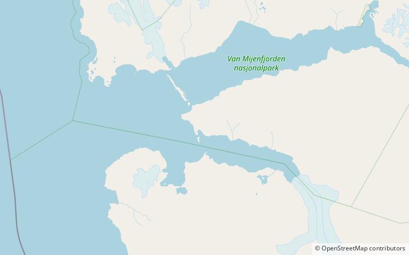
Bravaisberget is a mountain in Nathorst Land on the island of Spitsbergen in the Norwegian archipelago of Svalbard. It reaches a height of 775 m.a.s.l. and is located at the mouth of Van Keulenfjorden. The mountain is named after French physicist Auguste Bravais, member of the 1838 Spitsbergen expedition with La Recherche. ()
Coordinates: 77°37'32"N, 14°58'27"E
Location
Svalbard
ContactAdd
Social media
Add
Day trips
Bravaisberget – popular in the area (distance from the attraction)
Nearby attractions include: Van Keulenfjorden, Mariaholmen.

