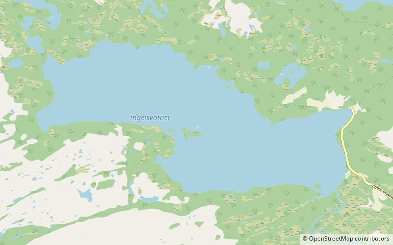
Ingjelsvatnet

Map
Facts and practical information
Ingelsvatnet or Ingjelsvatnet is a lake in the municipality of Lierne in Trøndelag county, Norway. The 7.16-square-kilometre lake lies only 1.5 kilometres from the south shore of the large lake Tunnsjøen and 10 kilometres west of the village of Tunnsjø senter. The water flows out through a series of small lakes and streams that lead into Tunnsjøen. The lake Havdalsvatnet lies 4 kilometres south of Ingelsvatnet. ()
Alternative names: Length: 3.11 miWidth: 6562 ftElevation: 1483 ft a.s.l.Coordinates: 64°39'50"N, 13°26'29"E
Location
Nord-Trøndelag
ContactAdd
Social media
Add
Day trips
Ingjelsvatnet – popular in the area (distance from the attraction)
Nearby attractions include: Havdalsvatnet, Tunnsjøen.

