Fjerdvatnet
Map

Map

Facts and practical information
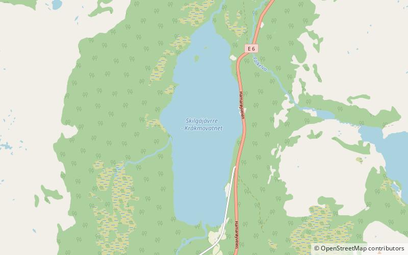
Fjerdvatnet or Kråkmovatnet or Skilggajávri is a lake in the municipality of Hamarøy in Nordland county, Norway. The European route E6 highway runs along the eastern shore of the lake. The lake lies about 12 kilometres southeast of the village of Tømmerneset. The large lake Rekvatnet lies just to the east and the lake Sandnesvatnet lies just to the north of this lake. ()
Alternative names: Length: 9843 ftWidth: 3281 ftElevation: 259 ft a.s.l.Coordinates: 67°49'19"N, 15°58'53"E
Location
Nordland
ContactAdd
Social media
Add
Day trips
Fjerdvatnet – popular in the area (distance from the attraction)
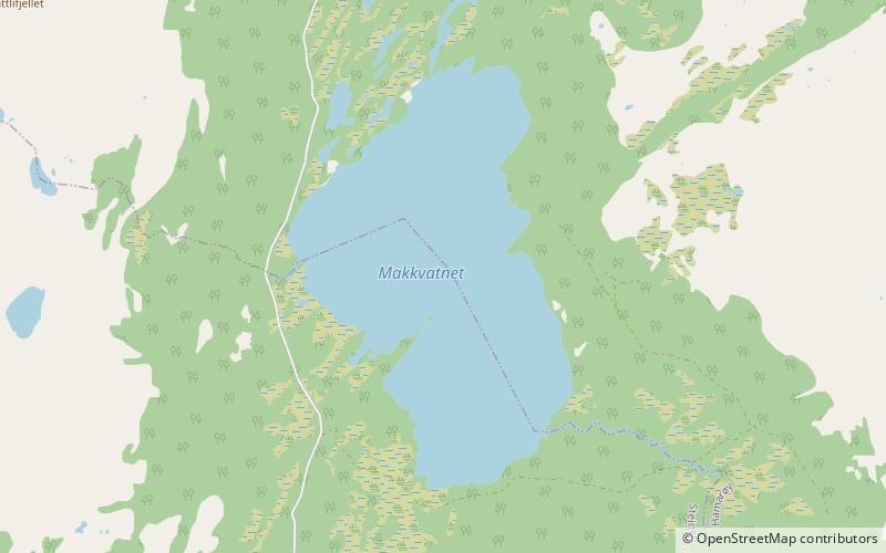
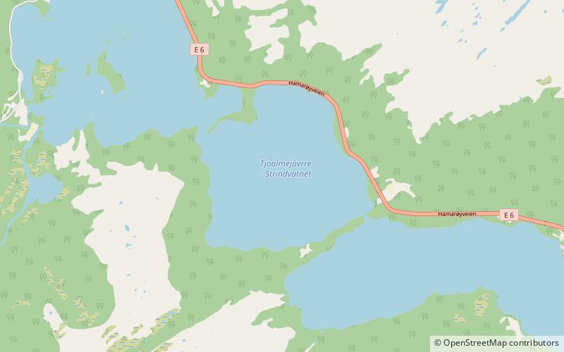
Nearby attractions include: Rotvatnet, Makkvatnet, Sandnesvatnet, Strindvatnet.


