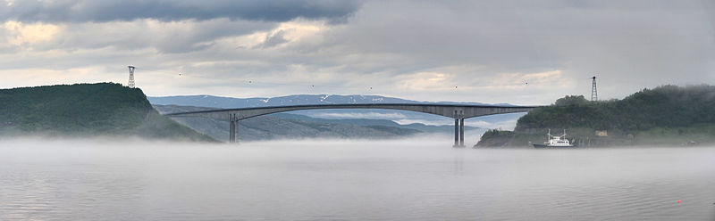
Sundøy Bridge

Gallery (2)
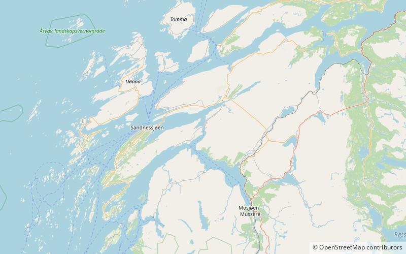
Map
Map
Gallery
Facts and practical information
The Sundøy Bridge is a cantilever bridge in the municipality of Leirfjord in Nordland county, Norway. The concrete bridge connects the mainland to the village of Sundøy on the island of Alsta. The 538-metre bridge has three spans, with the main span being 298 metres long. The maximum clearance to the sea is 43.5 metres. ()
Local name: Sundøybrua Opened: 2003 (23 years ago)Length: 1765 ftWidth: 34 ftCoordinates: 66°1'17"N, 12°56'3"E
Location
Nordland
ContactAdd
Social media
Add