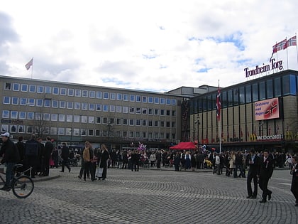
Trondheim Torg, Trondheim
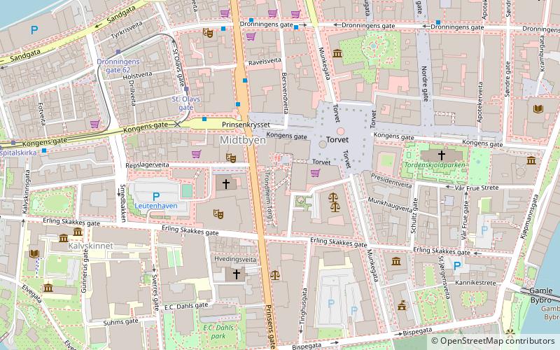
Map
Map

Facts and practical information
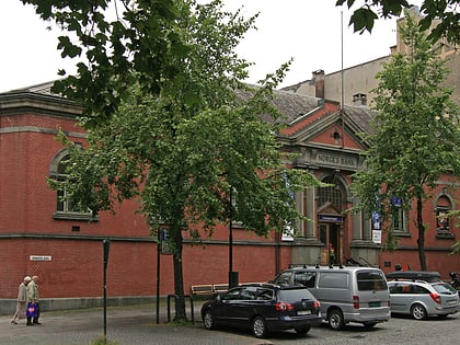
Trondheim Torg is a shopping center located at Torvet in Trondheim.
The mall has 65 stores and seven eateries spread over four floors. The center was established in 1992 and is located at Torvet in Midtbyen. After the expansion in 2002, which was based on a whole quarter, a number of wooden houses along Prinsens gate became part of the center. This expansion meant that Trondheim Torg is now one of the largest shopping centers north of Dovre.
Coordinates: 63°25'48"N, 10°23'36"E
Day trips
Trondheim Torg – popular in the area (distance from the attraction)
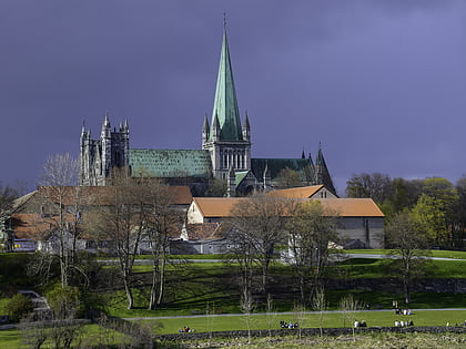
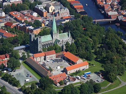
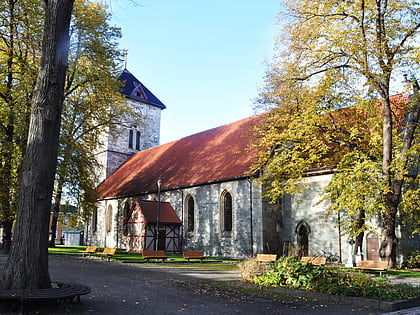
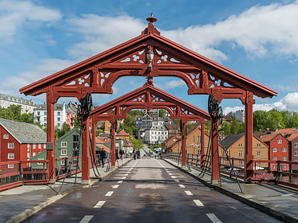
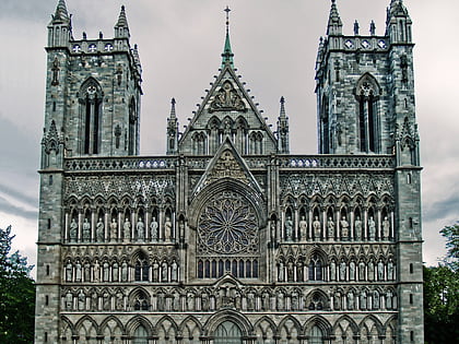
Nearby attractions include: Nidaros Cathedral, Erkebispegården, Vår Frue Church, Old Town Bridge.
Frequently Asked Questions (FAQ)
Which popular attractions are close to Trondheim Torg?
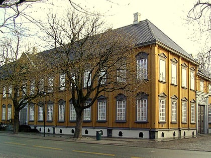
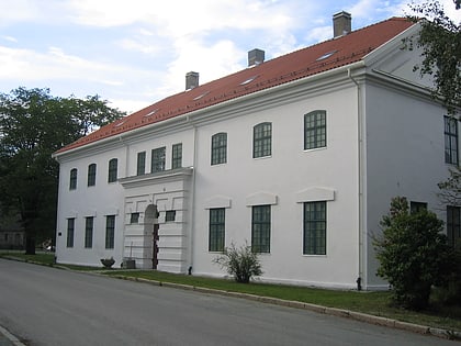
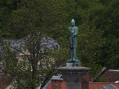
Nearby attractions include Trøndelag Teater, Trondheim (2 min walk), Olav Tryggvason Statue, Trondheim (2 min walk), Trondheim Cathedral School, Trondheim (4 min walk), Stiftsgården, Trondheim (4 min walk).
How to get to Trondheim Torg by public transport?
The nearest stations to Trondheim Torg:
Bus
Tram
Ferry
Train
Bus
- Kongens gate • Lines: 10, 11, 21, 26, 3, 63, 75, 76, 88, 89, 91 (3 min walk)
- Prinsens gate • Lines: 1, 10, 12, 2, 2 Strindheim - Lade - Sentrum -, 20, 21, 22, 23, 23 Flatåsen - St. Olavs hospital, 24, 44, 46, 47, 48, 54, 55, 60, 67, 76, 92, 93, 98 (3 min walk)
Tram
- St. Olavs gate • Lines: 9 (4 min walk)
- Hospitalkirka • Lines: 9 (7 min walk)
Ferry
- Ravnkloa • Lines: Munkholmbåten (8 min walk)
- Trondheim • Lines: 800, 805, 810 (15 min walk)
Train
- Trondheim (13 min walk)
- Skansen (13 min walk)
