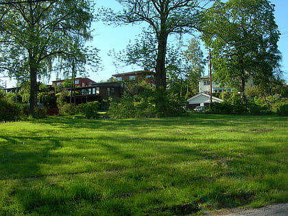
Akerselva, Oslo
Map
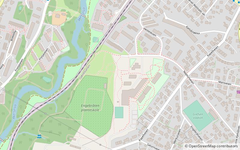
Map

Facts and practical information
Akerselva or Akerselven is a river which flows through Oslo. It starts at Maridalsvannet in Oslomarka, and traverses the boroughs of Nordre Aker, Sagene, Grünerløkka, central Oslo and Grønland, whereby it finally ends at Paulsenkaien and Oset in Bjørvika. The river is considered to be a part of the Nordmarkvassdraget, and has the Norwegian watercourse number 006.Z. The entire river is about 8.2 kilometres long, and has a difference in elevation between source and mouth of approximately 149 metres. ()
Address
Nordre Aker (Grefsen)Oslo
ContactAdd
Social media
Add
Day trips
Akerselva – popular in the area (distance from the attraction)
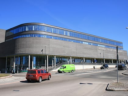
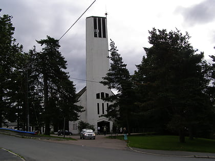
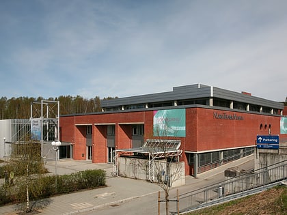
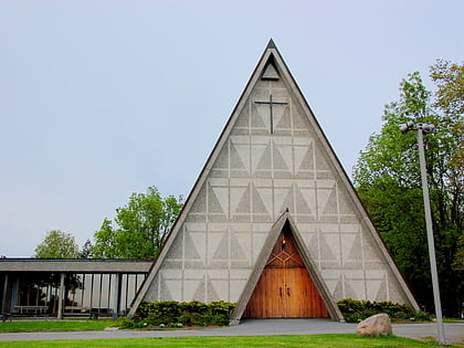
Nearby attractions include: Storo Storsenter, Nordberg kirke, Norwegian Museum of Science and Technology, Bakkehaugen Church.
Frequently Asked Questions (FAQ)
Which popular attractions are close to Akerselva?
Nearby attractions include Kjelsås, Oslo (9 min walk), Grefsen Church, Oslo (12 min walk), Norwegian Museum of Science and Technology, Oslo (13 min walk), Korsvoll, Oslo (16 min walk).
How to get to Akerselva by public transport?
The nearest stations to Akerselva:
Tram
Train
Metro
Tram
- Grefsen stadion (9 min walk)
- Kjelsåsalleen (10 min walk)
Train
- Kjelsås (13 min walk)
- Nydalen (16 min walk)
Metro
- Nydalen (22 min walk)
- Østhorn (23 min walk)

