Skare
Map

Map

Facts and practical information
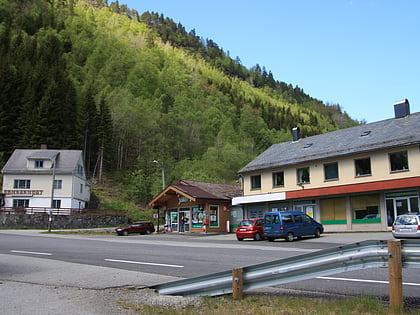
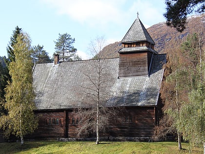
Skare or Skarde is a village in Ullensvang municipality in Vestland county, Norway. The village is located about 15 kilometres straight south of the town of Odda and about 5 kilometres northwest of the village of Seljestad. The village sits at the junction of Norwegian National Road 13 and European route E134. Skare Church is located in the village. ()
Alternative names: Population: ~330 pplArea: 81.54 acres (0.1274 mi²)Coordinates: 59°56'45"N, 6°34'54"E
Location
Hordaland
ContactAdd
Social media
Add
Day trips
Skare – popular in the area (distance from the attraction)
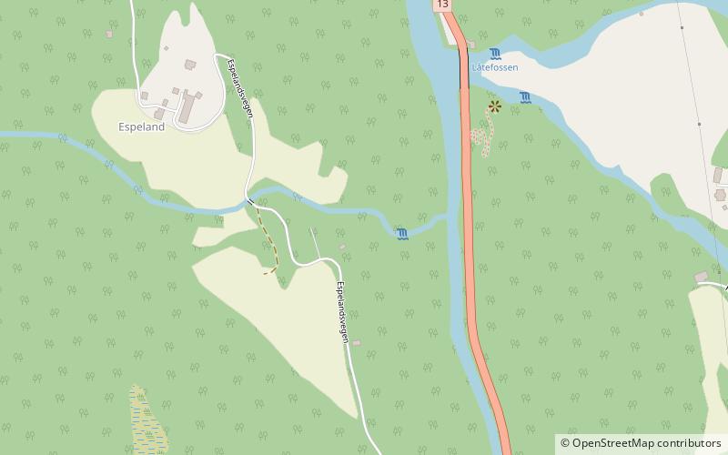
Nearby attractions include: Låtefossen, Skare Church, Espelandsfossen.


