Damsgård Tunnel, Bergen
Map

Map

Facts and practical information
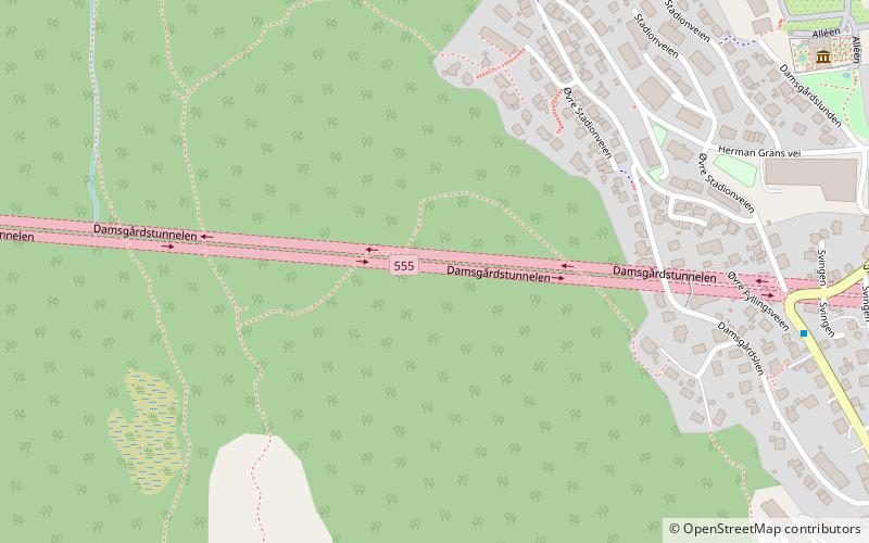
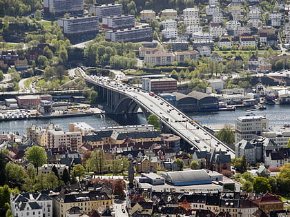
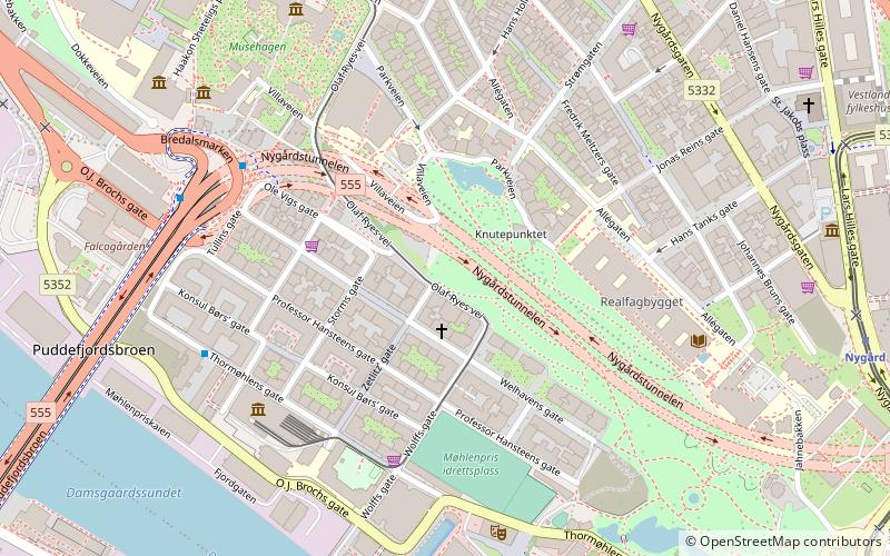
The Damsgård Tunnel is a road tunnel in the city of Bergen in Vestland county, Norway. It consists of two tubes, each of which carries two lanes of traffic through the Damsgårdsfjellet mountain between the neighborhoods of Lyngbø and Gyldenpris and the onwards towards the city centre. The northern end of the tunnel lies adjacent to the entrance to the Løvstakk Tunnel and the Puddefjord Bridge. The tunnel is one of the major arterial highways leading west from the city centre. ()
Address
LaksevågBergen
ContactAdd
Social media
Add
Day trips
Damsgård Tunnel – popular in the area (distance from the attraction)
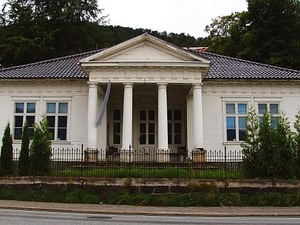
Nearby attractions include: St John's Church, Bergen Technical Museum, Damsgård Manor, Puddefjorden.
Frequently Asked Questions (FAQ)
Which popular attractions are close to Damsgård Tunnel?
Nearby attractions include Damsgård Manor, Bergen (8 min walk), Laksevåg Church, Bergen (10 min walk), Damsgårdsfjellet, Bergen (10 min walk), Løvstakken Tunnel, Bergen (17 min walk).
How to get to Damsgård Tunnel by public transport?
The nearest stations to Damsgård Tunnel:
Bus
Ferry
Tram
Light rail
Bus
- Gyldenpris N • Lines: 10 (17 min walk)
- Gyldenpris • Lines: 50E (18 min walk)
Ferry
- Bergen • Lines: Stavanger–Bergen (22 min walk)
- Beffen - Munkebryggen • Lines: Beffen (34 min walk)
Tram
- Byparken • Lines: 1 (34 min walk)
Light rail
- Byparken • Lines: 1 (34 min walk)


