Giske Wetlands System, Vigra Island
Map
Facts and practical information
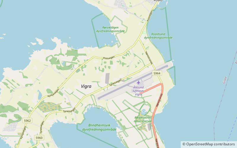
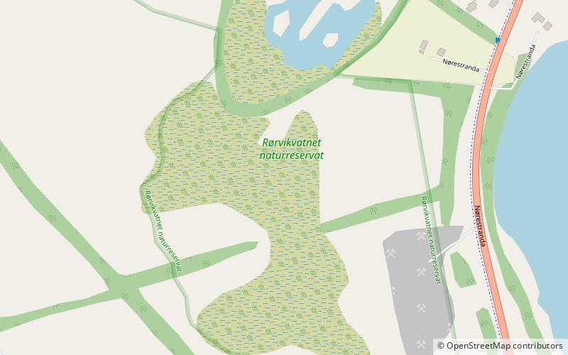
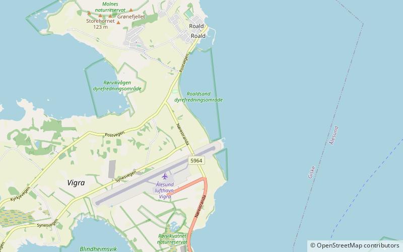
The Giske Wetlands System is a Ramsar site located in the municipality of Giske in Møre og Romsdal county, Norway. It consists of six separate protected areas: two nature reserves and four wildlife sanctuaries. One of the nature reserves lies on the island of Giske and the five other areas are located on the island of Vigra in the same municipality. ()
Address
Vigra Island
ContactAdd
Social media
Add
Day trips


Frequently Asked Questions (FAQ)
Which popular attractions are close to Giske Wetlands System?
Nearby attractions include Vigra Church, Vigra Island (21 min walk), Roaldsand Wildlife Sanctuary, Vigra Island (22 min walk).