Lysakerfjorden, Oslo
Map
Facts and practical information
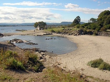
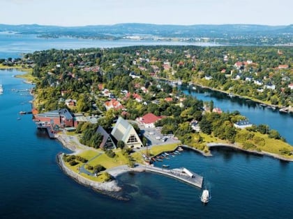
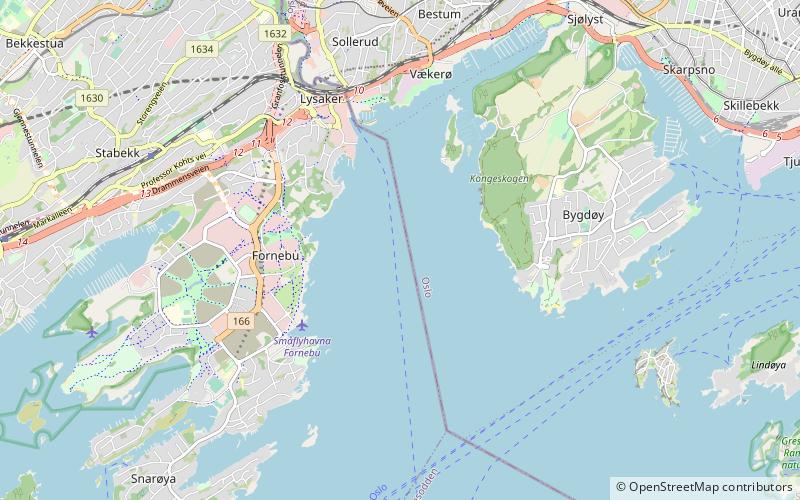
Lysakerfjorden is an arm of the Oslofjord in Norway. It starts at the mouth of the Lysaker River, and is bordered by the peninsulas Snarøya to the west and Bygdøy to the east. ()
Address
Oslo
ContactAdd
Social media
Add
Day trips
Lysakerfjorden – popular in the area (distance from the attraction)
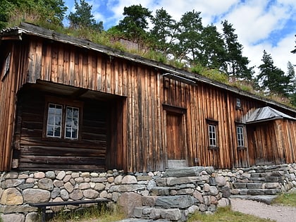
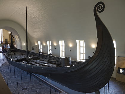
Nearby attractions include: Viking Ship Museum, Norsk Folkemuseum, CC Vest, Bygdøy Royal Estate.
Frequently Asked Questions (FAQ)
Which popular attractions are close to Lysakerfjorden?
Nearby attractions include Polhøgda, Bærum (17 min walk), Engineerium, Oslo (20 min walk), Diamanten, Bærum (22 min walk).
How to get to Lysakerfjorden by public transport?
The nearest stations to Lysakerfjorden:
Bus
Ferry
Train
Bus
- Fornebuparken • Lines: 225 (22 min walk)
- Lilløyveien • Lines: 225 (22 min walk)
Ferry
- Lysaker (22 min walk)
Train
- Lysaker (27 min walk)

