Madlamark, Stavanger

Map
Facts and practical information
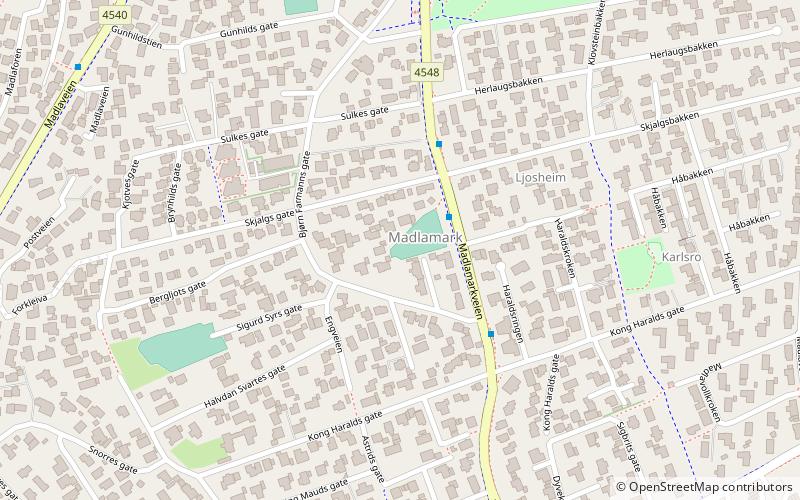
Madlamark is a neighborhood in the city of Stavanger which lies in the southwestern part of the large municipality of Stavanger in Rogaland county, Norway. It is located in the borough of Madla at the innermost part of the Hafrsfjorden. This area was historically part of the municipality of Madla until 1965. The neighborhood has a population of 6,556 which is distributed over an area of 2.49 square kilometres. Madlamark Church is located in the centre of the neighborhood. ()
Address
Stavanger
ContactAdd
Social media
Add
Day trips
Madlamark – popular in the area (distance from the attraction)
Nearby attractions include: DNB Arena, Sverd i fjell, Madla, Tjensvoll Church.
Frequently Asked Questions (FAQ)
Which popular attractions are close to Madlamark?
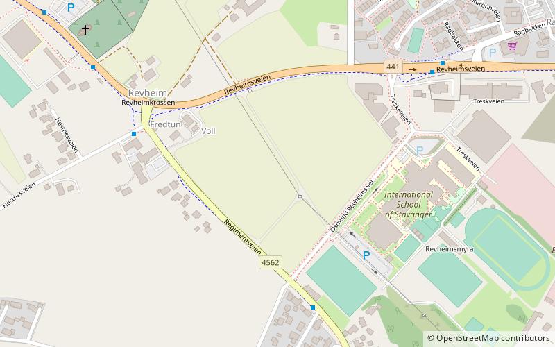
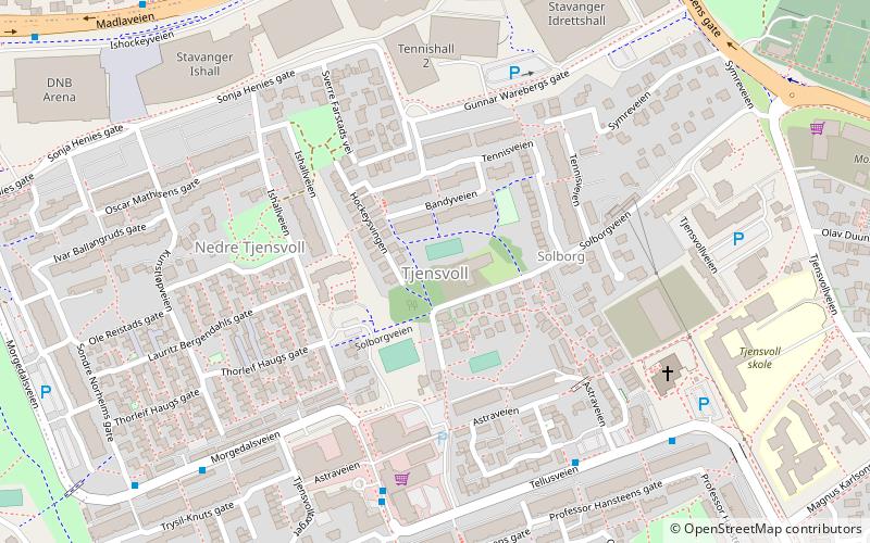
Nearby attractions include Madlamark Church, Stavanger (7 min walk), Sverd i fjell, Stavanger (11 min walk), The Iron Age Farm, Stavanger (16 min walk), Tjensvoll, Stavanger (20 min walk).
How to get to Madlamark by public transport?
The nearest stations to Madlamark:
Bus
Bus
- Stavanger turnhall • Lines: 6 (19 min walk)
- Tjensvollkrysset • Lines: 6 (25 min walk)


