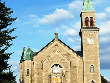
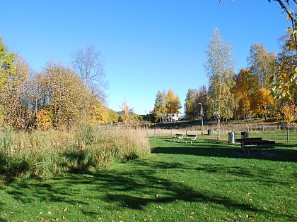
Rødtvet, Oslo
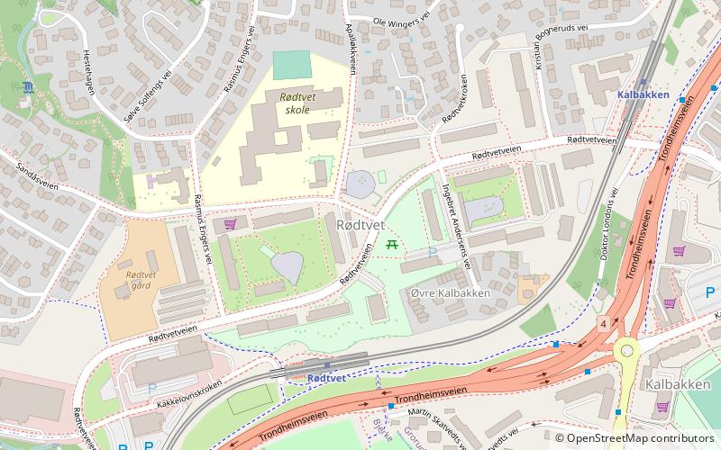
Map
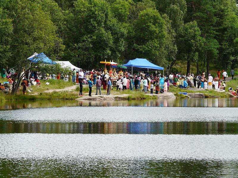
Gallery
Facts and practical information
Rødtvet is a residential area in the district of Grorud in Oslo, located just southwest of Grorud proper. The area was urbanized from the mid 1960s, and connected to the city centre with metro line 5 from 1966. Rødtvet has the forest Lillomarka as a neighbor to the north, and the residential areas Bredtvet, Kalbakken, Flaen and Nordtvet as its closest neighbors to the south. ()
Address
Grorud (Rødtvet)Oslo
ContactAdd
Social media
Add
Day trips
Rødtvet – popular in the area (distance from the attraction)
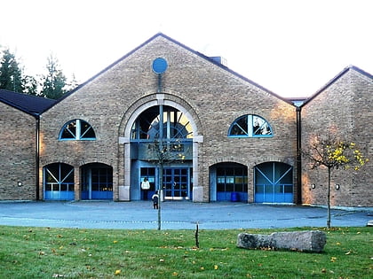
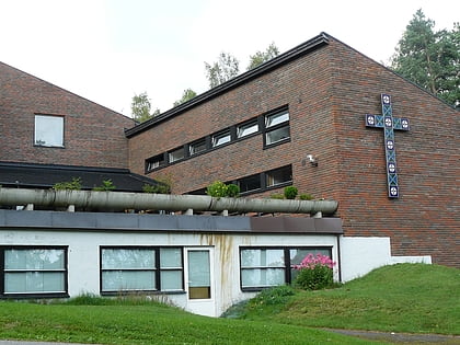
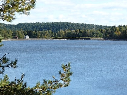
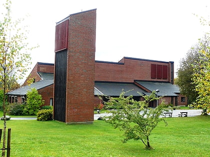
Nearby attractions include: Romsås Church, Rødtvet Church, Alnsjøen, Furuset Church.
Frequently Asked Questions (FAQ)
Which popular attractions are close to Rødtvet?
Nearby attractions include Kalbakken, Oslo (8 min walk), Bredtvet, Oslo (11 min walk), Rødtvet Church, Oslo (11 min walk), Veitvet, Oslo (19 min walk).
How to get to Rødtvet by public transport?
The nearest stations to Rødtvet:
Metro
Train
Bus
Metro
- Rødtvet (4 min walk)
- Kalbakken (7 min walk)
Train
- Nyland (20 min walk)
- Grorud (26 min walk)
Bus
- Grorud T (25 min walk)

