Lågvasstinden, Dovrefjell–Sunndalsfjella National Park
Facts and practical information
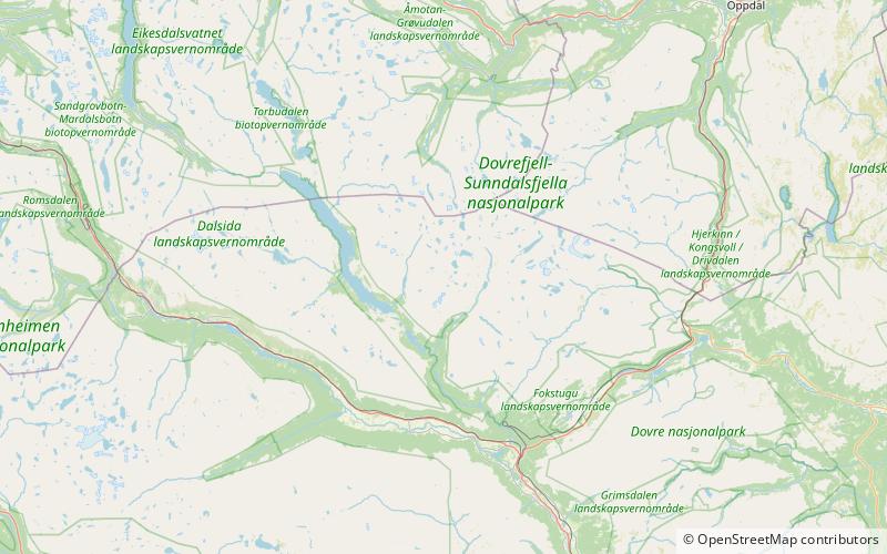
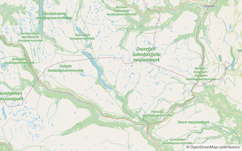
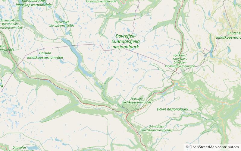
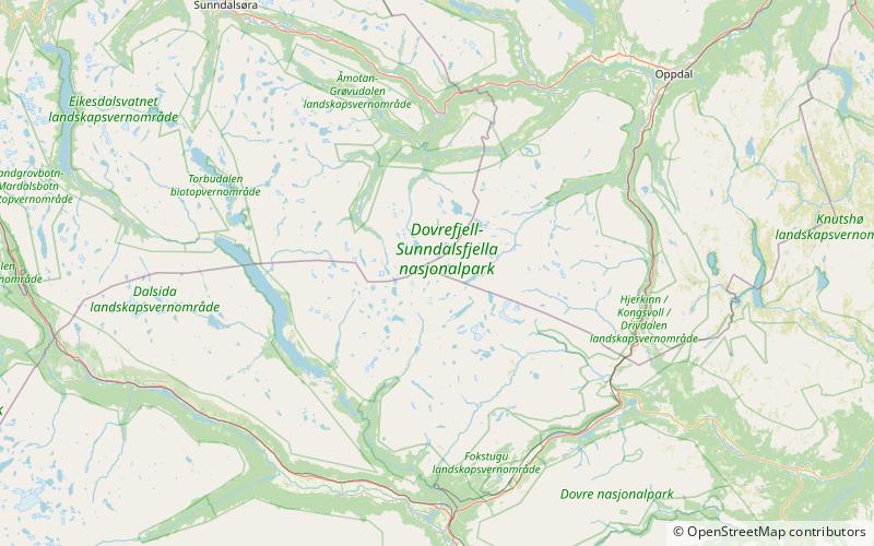
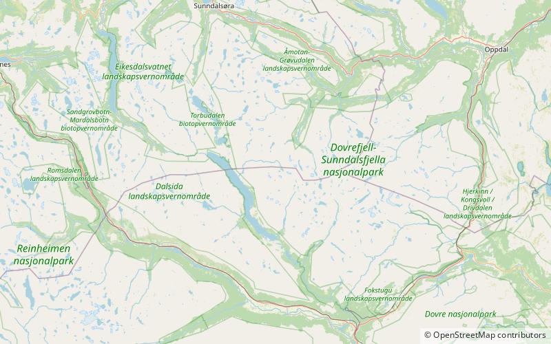
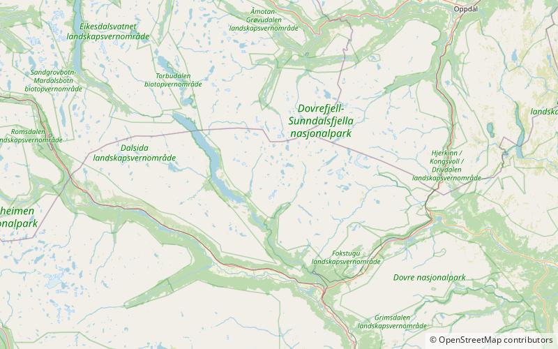
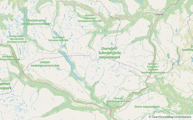
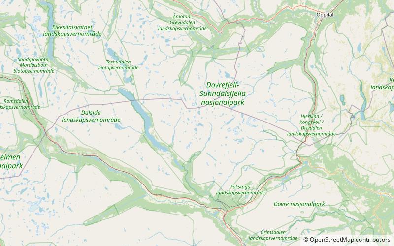
Lågvasstinden is a mountain in Lesja Municipality in Innlandet county, Norway. The 1,831-metre tall mountain lies within Dovrefjell-Sunndalsfjella National Park, about 22 kilometres northeast of the village of Lesja. The mountain is surrounded by several other mountains including Grøvudalstinden which is about 4 kilometres to the north, Salhøa which is about 5 kilometres to the northeast, Skuleggen which is 8 kilometres to the northeast, Drugshøi which is about 7.5 kilometres to the east, Mjogsjøhøi which is about 8.5 kilometres to the southeast, Hatten which lies about 11 kilometres to the south, Stortverråtinden and Vesltverråtinden which are about 3 kilometres to the southwest, Høgtunga which is about 4.3 kilometres to the west, and Eggekollan and Grønliskarstinden which are about 7.5 kilometres to the northwest. ()
Dovrefjell–Sunndalsfjella National Park
Lågvasstinden – popular in the area (distance from the attraction)
Nearby attractions include: Vesltverråtinden, Høgtunga, Salhøa, Sørhellhøi.
