Slettebakken, Bergen
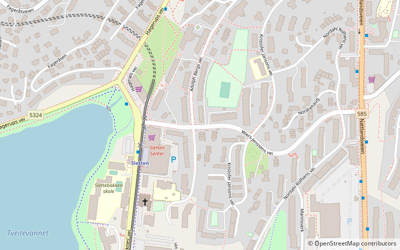
Map
Facts and practical information
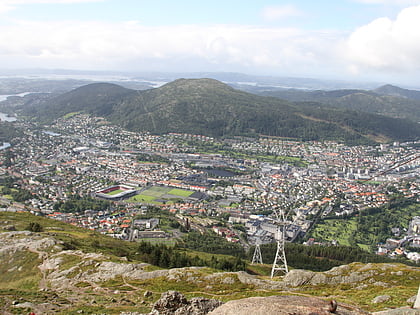
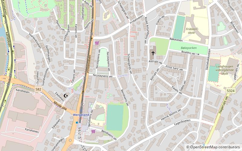
Slettebakken is a neighborhood in the borough of Årstad in Bergen. It has approximately 7,514 residents and covers 112 km² of land and 0.04 km² of freshwater. The neighborhood is bordered by Minde to the west, Kronstad to the north, Landås to the east and Fantoft and Nattlandsfjellet to the south. ()
Address
Årstad (Slettebakken)Bergen
ContactAdd
Social media
Add
Day trips
Slettebakken – popular in the area (distance from the attraction)
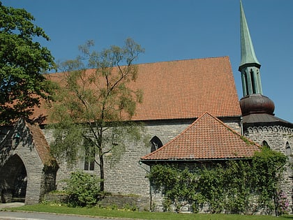
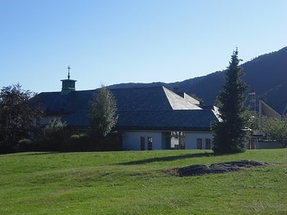
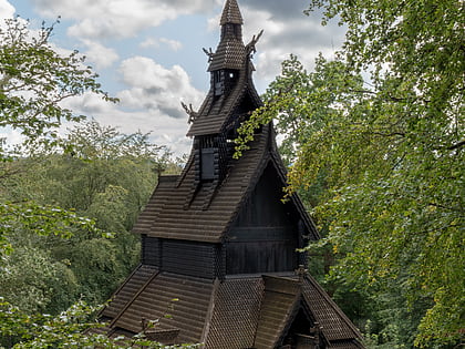
Nearby attractions include: Gamlehaugen, Fantoft Stave Church, Brann Stadion, Slettebakken Church.
Frequently Asked Questions (FAQ)
Which popular attractions are close to Slettebakken?
Nearby attractions include Slettebakken Church, Bergen (9 min walk), Årstad, Bergen (10 min walk), Bergensdalen, Bergen (12 min walk), Fridalen kirke, Bergen (12 min walk).
How to get to Slettebakken by public transport?
The nearest stations to Slettebakken:
Tram
Light rail
Bus
Tram
- Sletten • Lines: 1 (3 min walk)
- Wergeland • Lines: 1 (12 min walk)
Light rail
- Sletten • Lines: 1 (3 min walk)
- Wergeland • Lines: 1 (12 min walk)
Bus
- Wergeland • Lines: 10 (11 min walk)
- Mindeveien gravplass • Lines: 10 (24 min walk)


