Søndre Kjølhaugen
Map
Facts and practical information
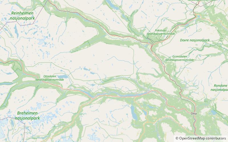
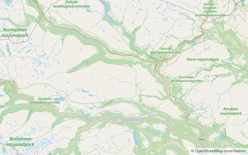
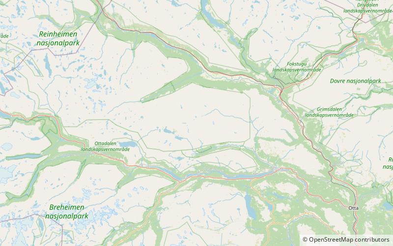
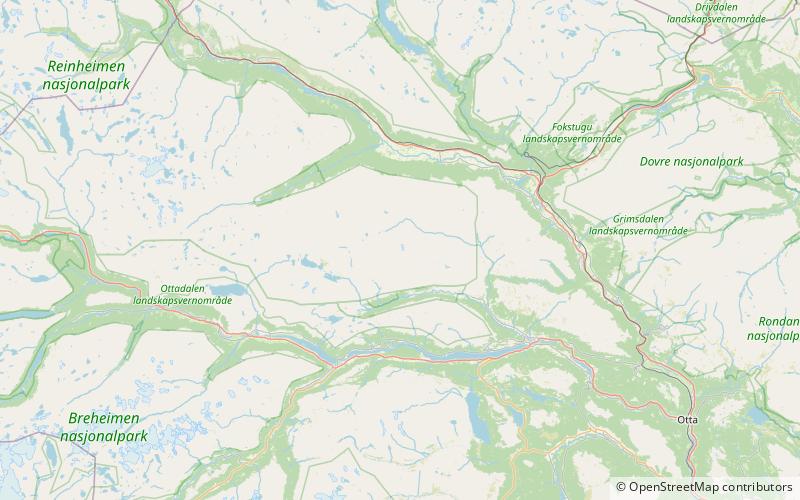
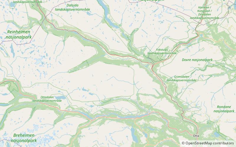
Søre Kjølhaugen is a mountain in Lesja Municipality in Innlandet county, Norway. The 1,765-metre tall mountain lies inside Reinheimen National Park, about 8 kilometres south of the village of Lesja. The mountain is surrounded by several other mountains including Knatthøin which is about 2.5 kilometres to the southeast, Skardtind which is about 13 kilometres to the southwest, and Kjølen which is about 3 kilometres to the northwest. ()
Location
Oppland
ContactAdd
Social media
Add
Day trips