Bukkehåmårtjønne, Jotunheimen
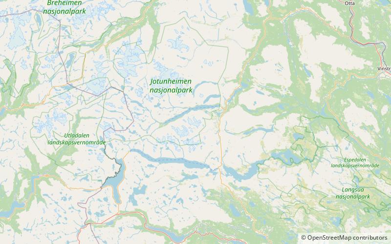
Map
Facts and practical information
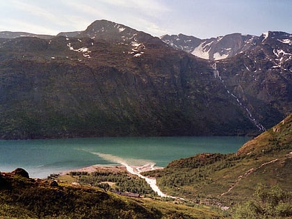
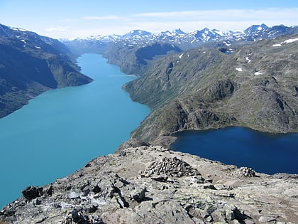
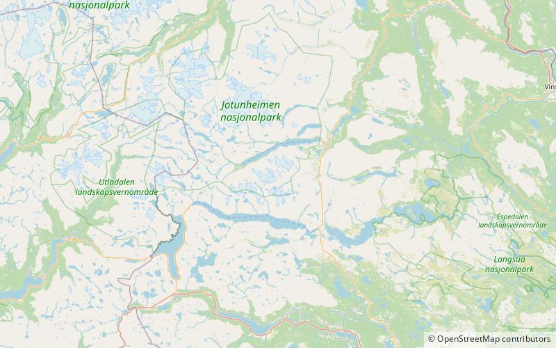
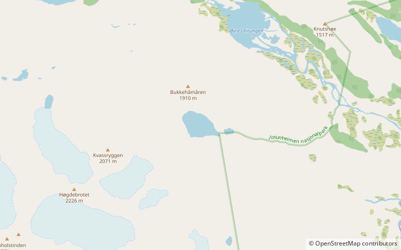
Bukkehåmmårtjørna is a small lake in eastern Jotunheimen. It is located in Vågå Municipality in Innlandet county, Norway. This is the highest lake that has been investigated as a climate archive in southern Norway, being situated at 1,594 metres above sea level. ()
Elevation: 5213 ft a.s.l.Coordinates: 61°27'48"N, 8°42'45"E
Address
Jotunheimen
ContactAdd
Social media
Add
Day trips
Bukkehåmårtjønne – popular in the area (distance from the attraction)
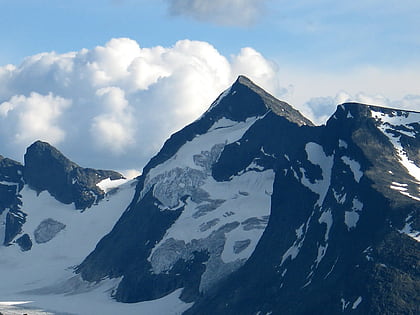
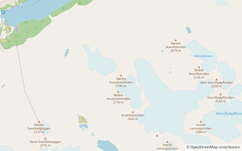
Nearby attractions include: Memurubu, Gjende, Høgdebrotet, Vesle Knutsholstinden.
