Solkollen, Kristiansand
Map
Facts and practical information
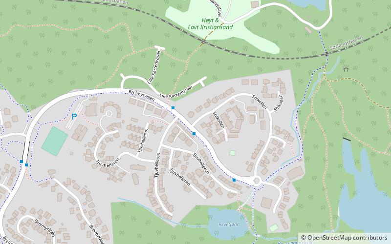
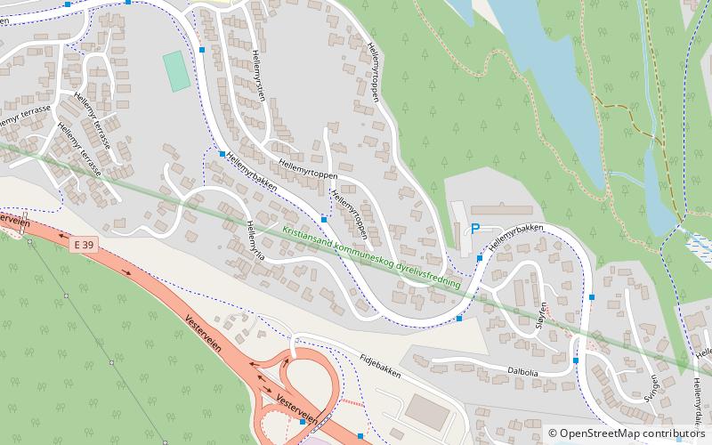
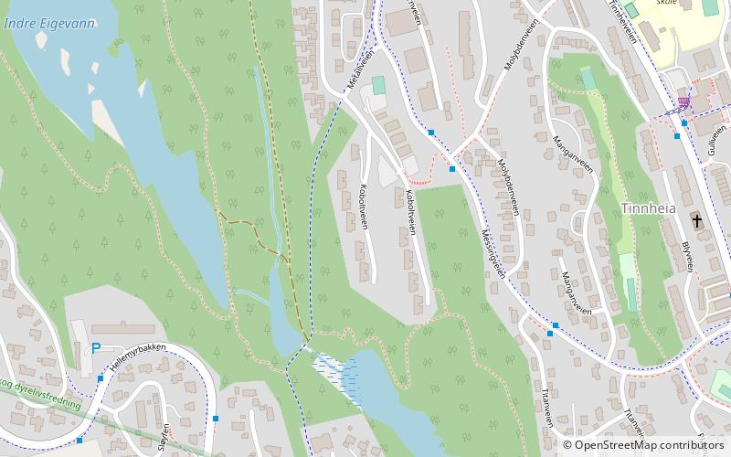
Solkollen is a neighbourhood in the city of Kristiansand in Agder county, Norway. It is located in the borough of Grim and in the district of Hellemyr. Solkollen is located to the north of Breimyr, to the west of the lake Eigevann, and to the north of Vestheiene. ()
Coordinates: 58°9'6"N, 7°55'56"E
Address
Kristiansand
ContactAdd
Social media
Add
Getting there by public transportation
Public transportation stops near this location
- Bus
 Bus
Bus
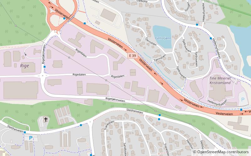
- Calculate routeSlettheiveien/Gransangerveien 30 min walk
- Calculate routeKartheia E39 34 min walk
- Calculate routeHannevika 41 min walk
Day trips


Frequently Asked Questions (FAQ)
Which popular attractions are close to Solkollen?
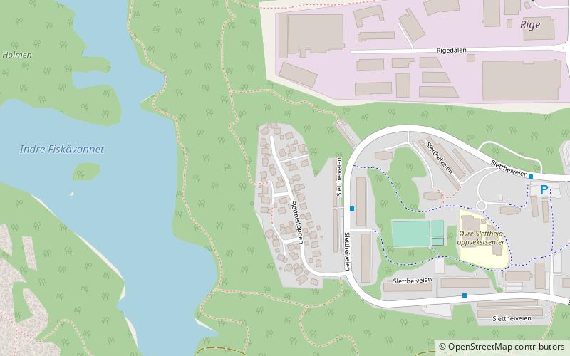
Nearby attractions include Vestheiene, Kristiansand (9 min walk), Hellemyr kirke, Kristiansand (12 min walk), Hellemyrtoppen, Kristiansand (16 min walk), Tinnheia nord, Kristiansand (20 min walk).
How to get to Solkollen by public transport?
The nearest stations to Solkollen:
Bus
Bus
- Slettheiveien/Gransangerveien • Lines: 3 (30 min walk)
- Kartheia E39 • Lines: 15 (34 min walk)