Alnabru, Oslo
Map
Map

Facts and practical information
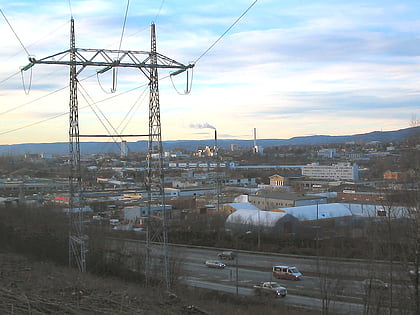
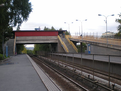
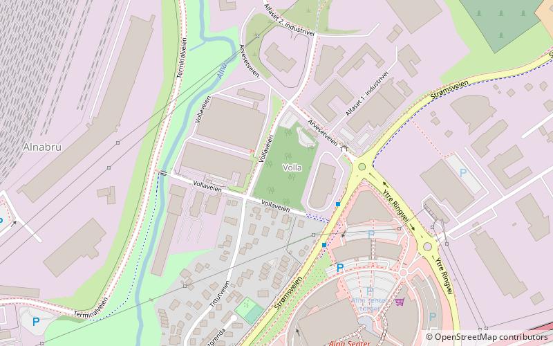
Alnabru is a neighbourhood of north-eastern Oslo. It lies in the middle of the southern part of the Grorud valley. The name – which means "Alna bridge" – comes from that of the Alna River, from which are also derived the names of the old Alna Gård estate and the borough of Alna, in which Alnabru is located. ()
Address
Alna (Trosterud)Oslo
ContactAdd
Social media
Add
Day trips
Alnabru – popular in the area (distance from the attraction)
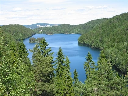
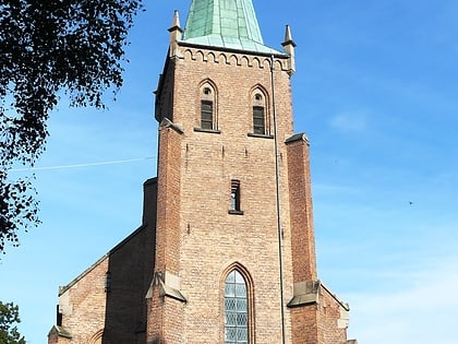
Nearby attractions include: Tveita Senter, Lutvann, Østre Aker Church, Alna.
Frequently Asked Questions (FAQ)
Which popular attractions are close to Alnabru?
Nearby attractions include Alna, Oslo (15 min walk), Haugerud, Oslo (18 min walk), Trosterud, Oslo (22 min walk).
How to get to Alnabru by public transport?
The nearest stations to Alnabru:
Train
Metro
Bus
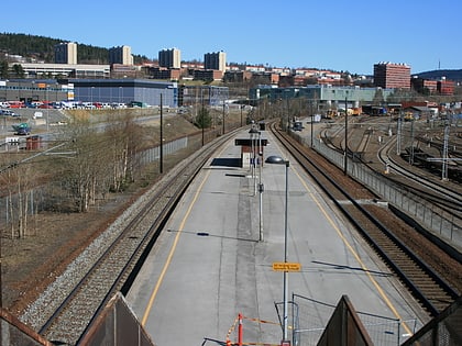
Train
- Alna (12 min walk)
- Nyland (36 min walk)
Metro
- Haugerud (14 min walk)
- Vollebekk (18 min walk)
Bus
- IKEA Furuset • Lines: IKEA bussen (26 min walk)
