Solund Basin, Sula, Solund

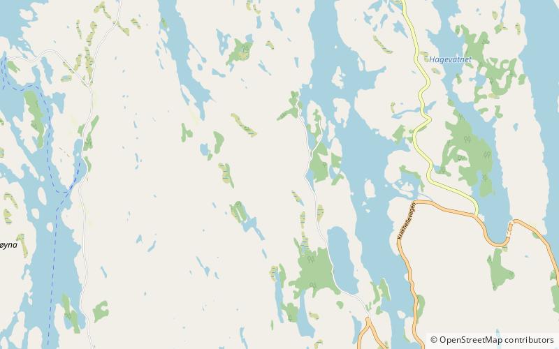
Map
Facts and practical information
The Solund Basin is a sedimentary basin containing at least 6 km of mainly coarse conglomerates of Devonian age. It is the southernmost of a group of basins of similar age found along the southwest coast of Norway between Sognefjord and Nordfjord, developed in the hanging-wall of the Nordfjord-Sogn Detachment. It was formed as a result of extensional tectonics during the post-orogenic collapse of crust thickened during the Caledonian orogeny, towards the end of the Silurian period. It is named for the municipality of Solund in Vestland. ()
Coordinates: 61°8'24"N, 4°52'48"E
Address
Sula, Solund
ContactAdd
Social media
Add
Day trips
Solund Basin – popular in the area (distance from the attraction)
Nearby attractions include: Solund Church, Hersvik Church, Steinsundøyna.


