Auglandsbukta, Kristiansand
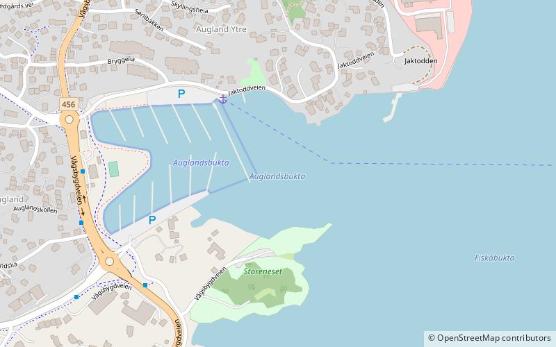
Map
Facts and practical information
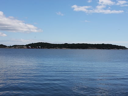
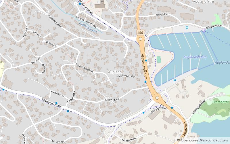
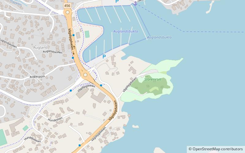
Auglandsbukta is a neighbourhood in the city of Kristiansand in Agder county, Norway. The neighborhood is located in the borough of Vågsbygd and in the district of Vågsbygd. There is a large marina harbour and park located in the cove of Auglandsbukta. There is also a gas station and some real estate offices at Auglandsbukta. Auglandsbukta is next to Norwegian County Road 456. Augland lies to the west and Skyllingsheia lies to the north. ()
Coordinates: 58°7'11"N, 7°57'55"E
Address
Kristiansand
ContactAdd
Social media
Add
Day trips
Auglandsbukta – popular in the area (distance from the attraction)
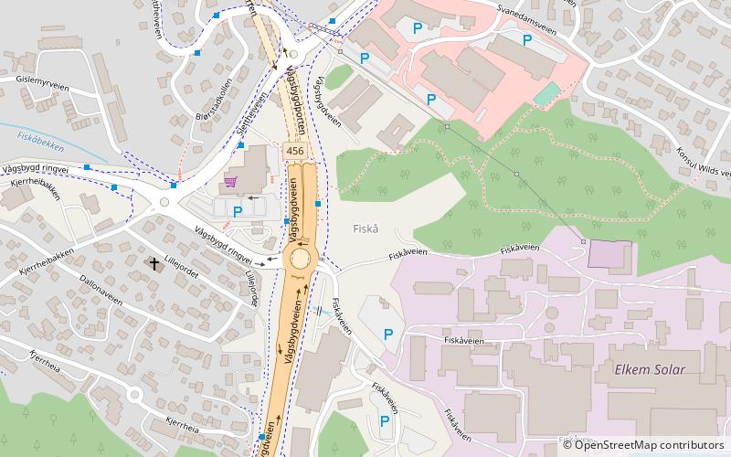
Nearby attractions include: Amfi Vågsbygd, Vågsbygd kirke, Bragdøya, Fiskåtangen.
Frequently Asked Questions (FAQ)
Which popular attractions are close to Auglandsbukta?
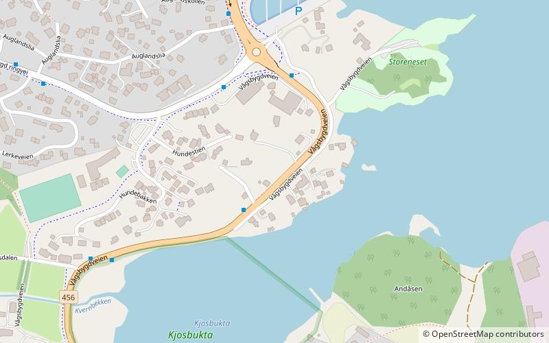
Nearby attractions include Storenes, Kristiansand (4 min walk), Skyllingsheia, Kristiansand (6 min walk), Smiebrygga, Kristiansand (8 min walk), Augland, Kristiansand (8 min walk).
How to get to Auglandsbukta by public transport?
The nearest stations to Auglandsbukta:
Bus
Bus
- Slettheiveien/Trekanten • Lines: 3 (18 min walk)
- Måltrostveien • Lines: 3 (21 min walk)


