Toppidrettssenteret, Oslo
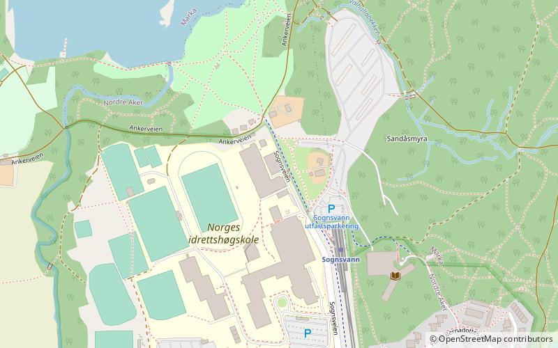
Map
Facts and practical information
Toppidrettssenteret is the training center of the Olympiatoppen, the elite branch of the Norwegian Olympic and Paralympic Committee and Confederation of Sports. ()
Getting there by public transportation
Public transportation stops near this location
- Metro
- Train
 Metro
Metro
- Calculate routeSognsvann 3 min walk
- Calculate routeKringsjå 9 min walk
- Calculate routeHolstein 16 min walk
- Calculate routeØsthorn 26 min walk
- Calculate routeSognsvann 3 min walk
- Calculate routeKringsjå 9 min walk
- Calculate routeHolstein 16 min walk
- Calculate routeØsthorn 26 min walk
Day trips


Frequently Asked Questions (FAQ)
Which popular attractions are close to Toppidrettssenteret?
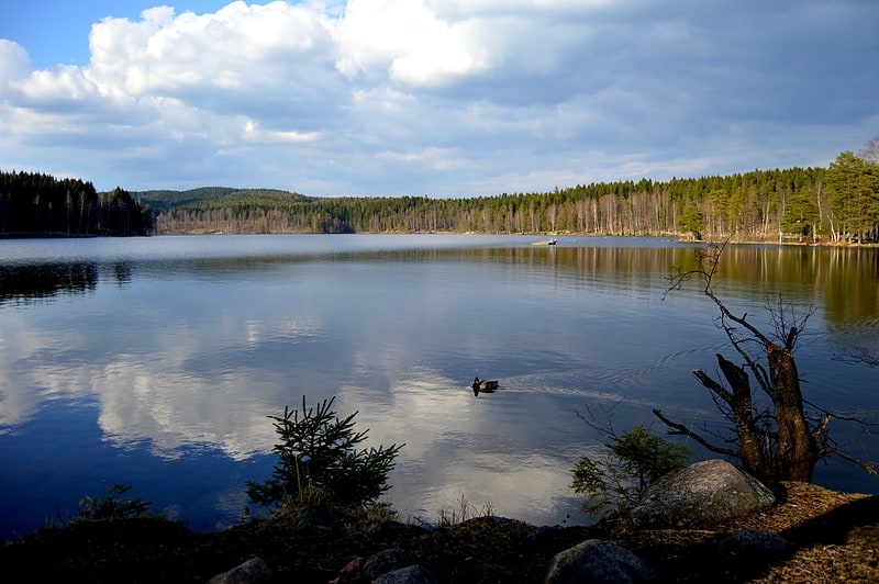
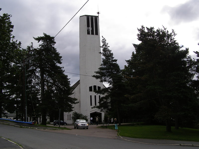
Nearby attractions include National Archives of Norway, Oslo (4 min walk), Sognsvann, Oslo (12 min walk), Nordberg kirke, Oslo (14 min walk), Nordberg, Oslo (22 min walk).
How to get to Toppidrettssenteret by public transport?
The nearest stations to Toppidrettssenteret:
Metro
Train
Metro
- Sognsvann (3 min walk)
- Kringsjå (9 min walk)
Train
- Sognsvann (3 min walk)
- Kringsjå (9 min walk)