Karihaugen, Oslo
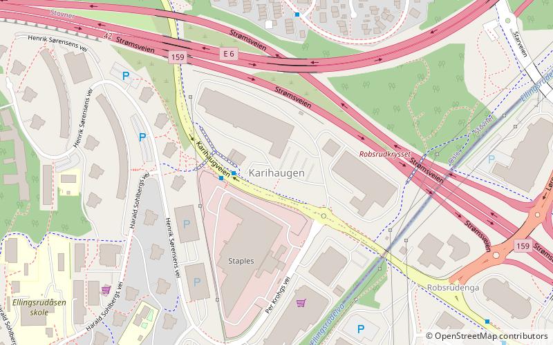
Map
Facts and practical information
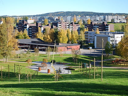
Karihaugen is a neighbourhood in the residential area of Ellingsrud in Oslo, Norway. The development of the area started in the 1970s.Karihaugen consists mainly of residential buildings in various shapes and sizes. Karihaugen also has a tiny industrial area, which borders to the much bigger Visperud industrial area in Lørenskog. ()
Address
Stovner (Høybråten)Oslo
ContactAdd
Social media
Add
Day trips
Karihaugen – popular in the area (distance from the attraction)
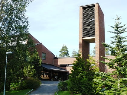
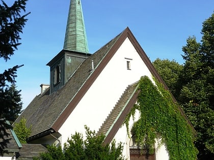
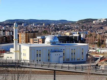
Nearby attractions include: Verdensparken, Ellingsrud Church, Høybråten Church, Baitun Nasr Mosque.
Frequently Asked Questions (FAQ)
Which popular attractions are close to Karihaugen?
Nearby attractions include Ellingsrud, Oslo (9 min walk), Ellingsrud Church, Oslo (11 min walk), Høybråten, Oslo (13 min walk), Høybråten Church, Oslo (21 min walk).
How to get to Karihaugen by public transport?
The nearest stations to Karihaugen:
Metro
Train
Bus
Metro
- Ellingsrudåsen (12 min walk)
- Furuset (29 min walk)
Train
- Høybråten (19 min walk)
- Lørenskog (20 min walk)
Bus
- Lørenskog sentrum (29 min walk)
