Aust-Agder County Municipality, Arendal
Map
Facts and practical information
Aust-Agder County Municipality was the regional governing administration of the old Aust-Agder county in Norway. The county municipality was established on 1 January 1976 when the law was changed to allow elected county councils in Norway. The county municipality was dissolved on 1 January 2020, when Aust-Agder was merged with the neighboring Vest-Agder county, creating the new Agder county which is led by the Agder County Municipality. ()
Address
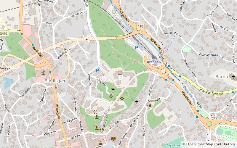
Arendal
ContactAdd
Social media
Add
Getting there by public transportation
Public transportation stops near this location
- Bus
- Train
 Bus
Bus
- Calculate routeArendal 3 min walk
- Calculate routeTinghuset 5 min walk
- Calculate routeBlødekjær 7 min walk
- Calculate routeA 8 min walk
- Calculate routeArendal bussterminal 8 min walk
Day trips


Frequently Asked Questions (FAQ)
Which popular attractions are close to Aust-Agder County Municipality?
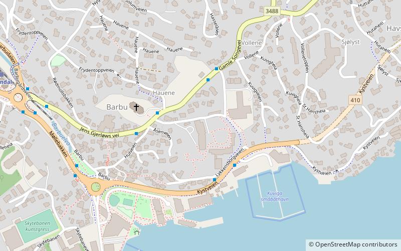
Nearby attractions include Arendal Town Hall, Arendal (7 min walk), Barbu Church, Arendal (8 min walk), Trinity Church, Arendal (10 min walk), Kløcker's House - Arendal Museum, Arendal (10 min walk).
How to get to Aust-Agder County Municipality by public transport?
The nearest stations to Aust-Agder County Municipality:
Train
Bus
Train
- Arendal (3 min walk)
Bus
- Tinghuset • Lines: Buss Arendal linje 110 til Jovan (5 min walk)
- Blødekjær • Lines: Buss Arendal linje 110 til Jovan (7 min walk)