Skarvedalseggen, Reinheimen National Park

Map
Facts and practical information
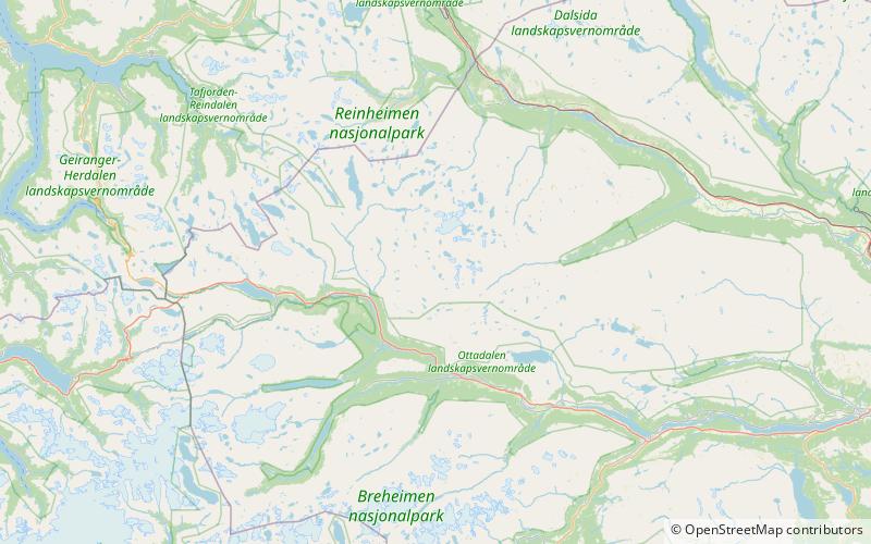
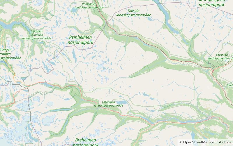
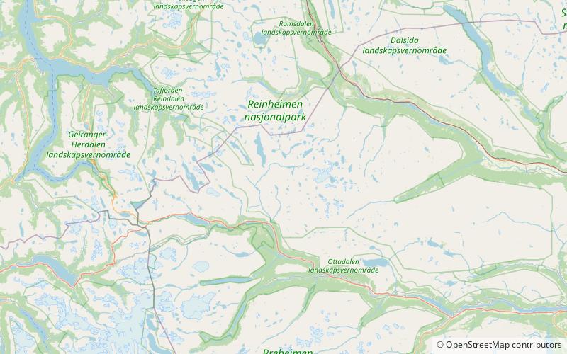
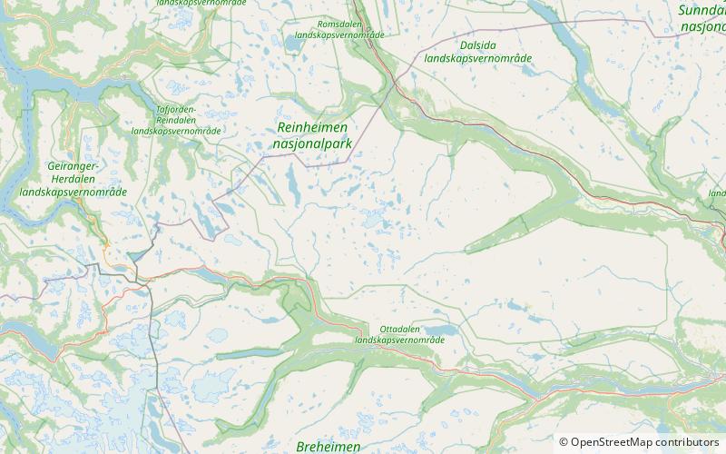
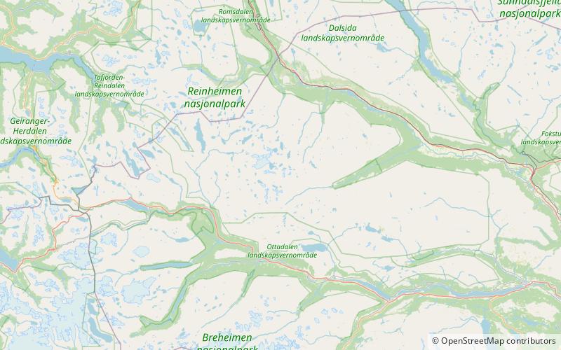
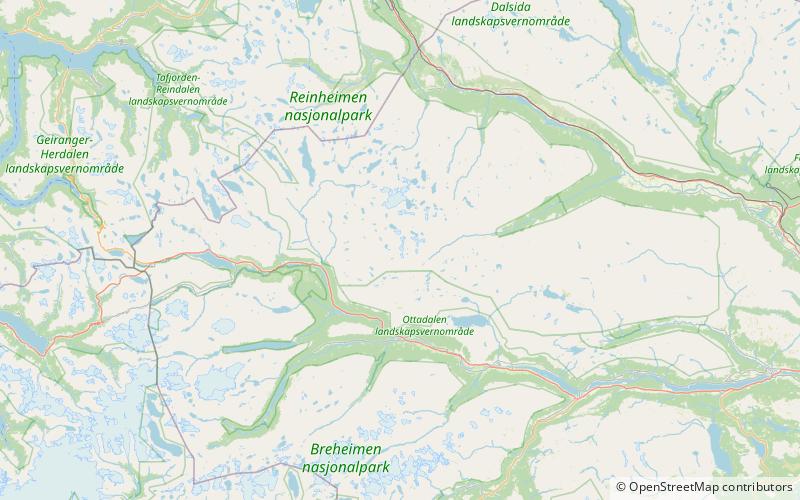
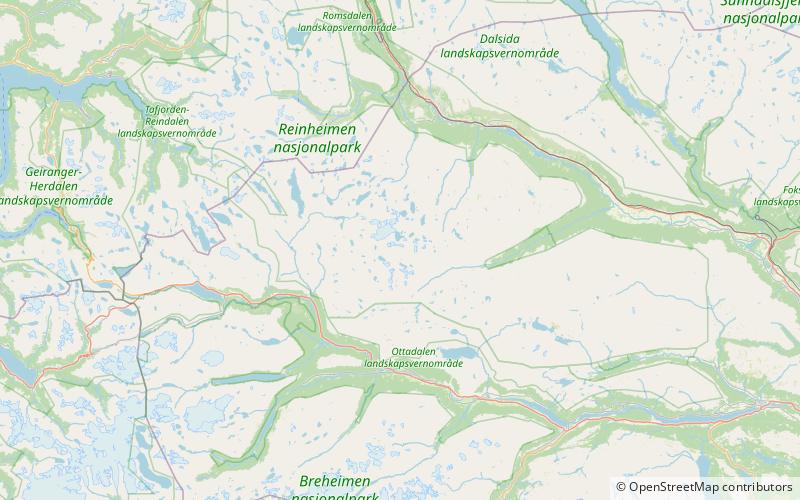
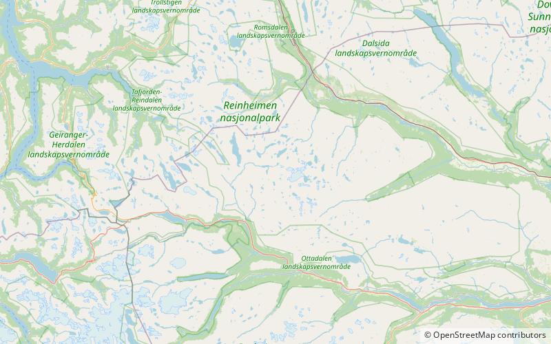
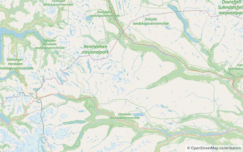
Skarvedalseggen is a mountain in Innlandet county, Norway. The mountain peak lies along the border of Lesja and Skjåk municipalities. The 1,960-metre tall mountain lies within Reinheimen National Park, about 25 kilometres southwest of the village of Lesjaskog. The mountain is surrounded by several other mountains including Gråhø which is about 3 kilometres to the north, Holhøi which is about 6 kilometres to the northeast, Løyfthøene which is 4 kilometres to the northeast, and Buakollen which is about 8 kilometres to the east. ()
Address
Reinheimen National Park
ContactAdd
Social media
Add
Day trips