Pipervika, Oslo
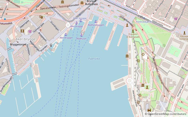
Map
Map

Facts and practical information
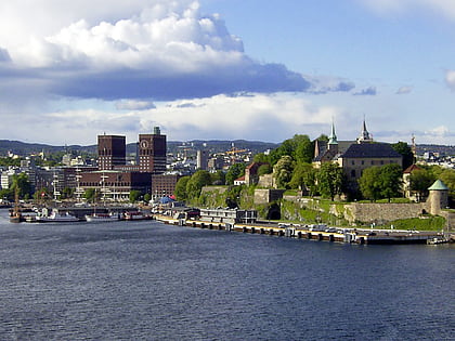
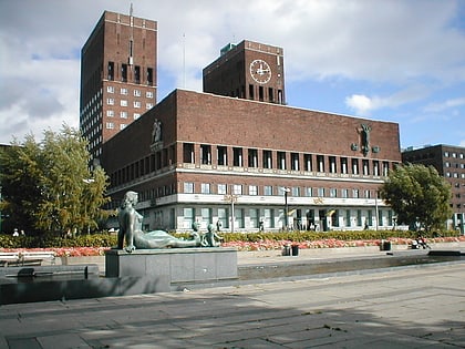
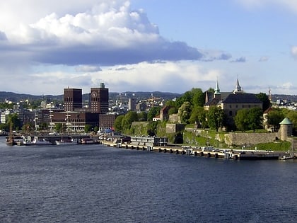
Pipervika is a neighborhood in the borough Sentrum in Oslo, Norway. It is located between the Oslofjord, Akershus Fortress and The City Hall Square. Today the term Pipervika is primarily used for the bay between the fortress and Aker Brygge. This was formerly commonly known as Piperviksbukta. It is part of the Fjord City urban renewal project. ()
Address
Rådhusbrygge 4Oslo
Contact
+47 940 80 932
Social media
Add
Day trips
Pipervika – popular in the area (distance from the attraction)
Nearby attractions include: Akershus Fortress, Nobel Peace Center, City Hall, Norway's Resistance Museum.
Frequently Asked Questions (FAQ)
Which popular attractions are close to Pipervika?
Nearby attractions include Festning Tunnel, Oslo (3 min walk), Rådhusplassen, Oslo (5 min walk), Østerdalen, Oslo (5 min walk), Sentrum, Oslo (5 min walk).
How to get to Pipervika by public transport?
The nearest stations to Pipervika:
Ferry
Tram
Metro
Train
Bus
Ferry
- Rådhuset (3 min walk)
- Rådhusbryggen • Lines: B9 (3 min walk)
Tram
- Aker brygge (4 min walk)
- Kontraskjæret (6 min walk)
Metro
- National Theatre (12 min walk)
- Stortinget (14 min walk)
Train
- National Theatre (12 min walk)
- Oslo Central Station (20 min walk)
Bus
- Oslo Bus Terminal (26 min walk)
