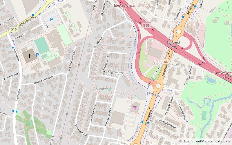
Bogafjell Church, Sandnes
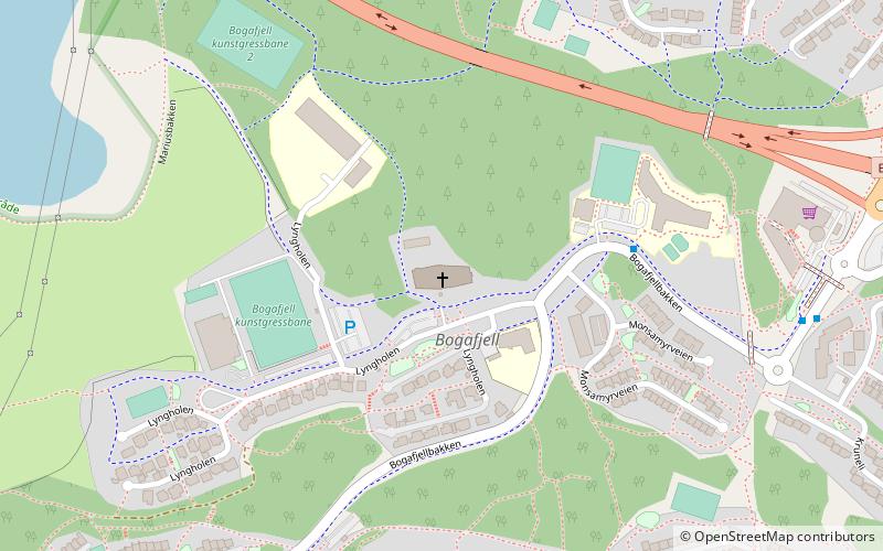
Map
Facts and practical information
Bogafjell Church is a parish church of the Church of Norway in the western part of the large Sandnes municipality in Rogaland county, Norway. It is located in the borough of Bogafjell, just south of the centre of the city of Sandnes. It is the church for the Bogafjell parish which is part of the Sandnes prosti in the Diocese of Stavanger. The gray, concrete church was built in a rectangular design in 2012 using designs by the architect Grete Gudmestad Krogedal from the company Rambøll Arkitektur. The 2,500-square-metre church seats about 400 people. The church was consecrated on 4 March 2012. ()
Getting there by public transportation
Public transportation stops near this location
- Train
 Train
Train
- Calculate routeGanddal 28 min walk
Day trips


Frequently Asked Questions (FAQ)
How to get to Bogafjell Church by public transport?
The nearest stations to Bogafjell Church:
Train
Train
- Ganddal (28 min walk)