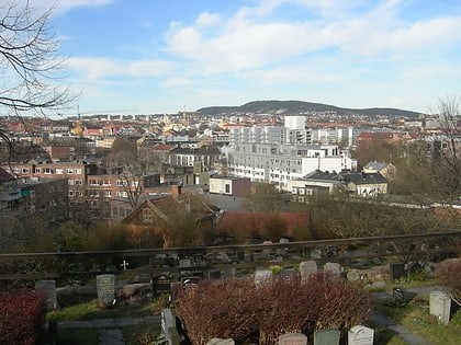
Bjerkebanen, Oslo
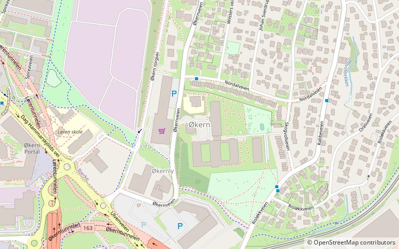
Map
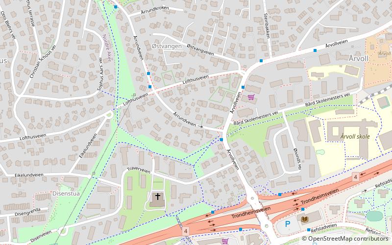
Map

Facts and practical information
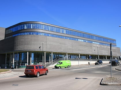
Bjerkebanen, often simply called Bjerke, is a neighborhood in the Økern district of the Bjerke borough in northeastern Oslo, Norway. It lies in the Grorud Valley. The area is dominated by the Bjerke Race Track, a harness racing track, with its stadium building, stable building, and a large parking lot. ()
Address
Bjerke (Årvoll)Oslo
ContactAdd
Social media
Add
Day trips
Bjerkebanen – popular in the area (distance from the attraction)
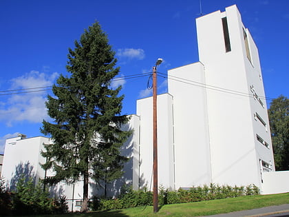
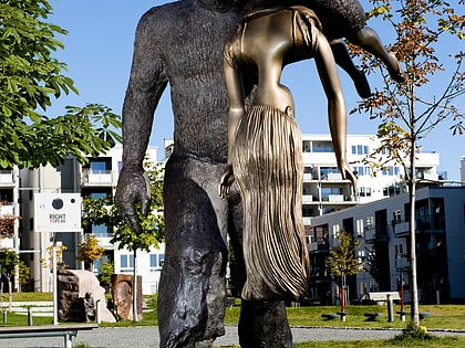
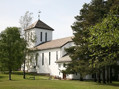
Nearby attractions include: Storo Storsenter, Sinsen kirke, Tonsen Church, Peer Gynt Sculpture Park.
Frequently Asked Questions (FAQ)
Which popular attractions are close to Bjerkebanen?
Nearby attractions include Tonsen Church, Oslo (4 min walk), Årvoll, Oslo (7 min walk), Bjerke, Oslo (10 min walk), Bjerke Travbane, Oslo (10 min walk).
How to get to Bjerkebanen by public transport?
The nearest stations to Bjerkebanen:
Tram
Train
Metro
Tram
- Disen (18 min walk)
- Doktor Smiths vei (18 min walk)
Train
- Grefsen (24 min walk)
- Alna (34 min walk)
Metro
- Storo (25 min walk)
- Sinsen (26 min walk)

