Østbyen, Trondheim
Map
Map

Facts and practical information
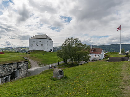
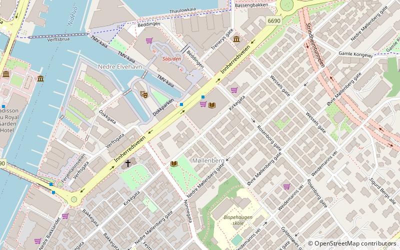
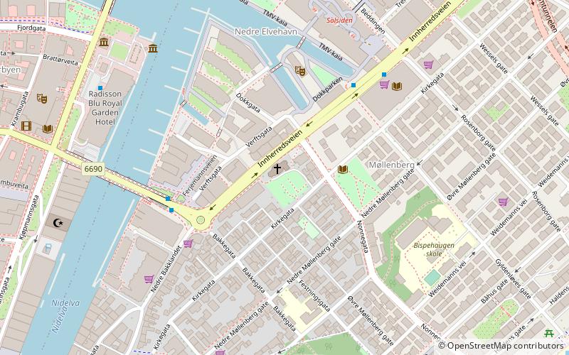
Østbyen is a borough of the city of Trondheim in Trøndelag county, Norway. The borough was established on 1 January 2005 in a municipal borough reform that reduced the number of boroughs in the city. The borough of Lerkendal lies to the southwest, Midtbyen lies to the northwest, and the municipality of Malvik lies to the east. Trondheimsfjorden lies to the north. The borough consists of the areas of Møllenberg, Nedre Elvehavn, Rosenborg, Lade, Strindheim, Brundalen, Charlottenlund, Jakobsli, Ranheim and Vikåsen. It has 39,171 residents. ()
Address
Trondheim
ContactAdd
Social media
Add
Day trips
Østbyen – popular in the area (distance from the attraction)
Nearby attractions include: Kristiansten Fortress, Leangen Ishall, Tyholttårnet, Berg Church.
Frequently Asked Questions (FAQ)
Which popular attractions are close to Østbyen?
Nearby attractions include Strinda Church, Trondheim (8 min walk), Valentinlyst, Trondheim (14 min walk), Moholt, Trondheim (16 min walk), Strindheim Church, Trondheim (17 min walk).
How to get to Østbyen by public transport?
The nearest stations to Østbyen:
Bus
Bus
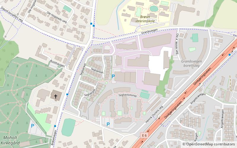
- Teglverkskrysset • Lines: 12 (4 min walk)
- Henrik Ourens veg • Lines: 12 (4 min walk)

