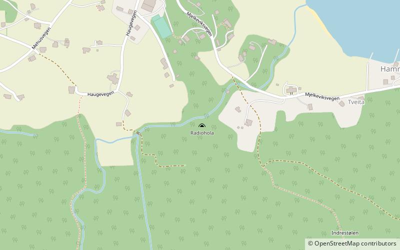
Radiohola, Halsnøy
Map
Facts and practical information
Radiohòla is a natural shelter used by the Norwegian resistance during the Second World War. It served as a hiding place for a radio that brought news from the British, during a time of which radios were banned and the German occupants arrested and prosecuted those found in possession of one. ()
Coordinates: 59°46'47"N, 5°48'25"E
Address
Halsnøy
ContactAdd
Social media
Add
Day trips