Biscayarfonna, Nordvest-Spitsbergen National Park
Map

Map

Facts and practical information
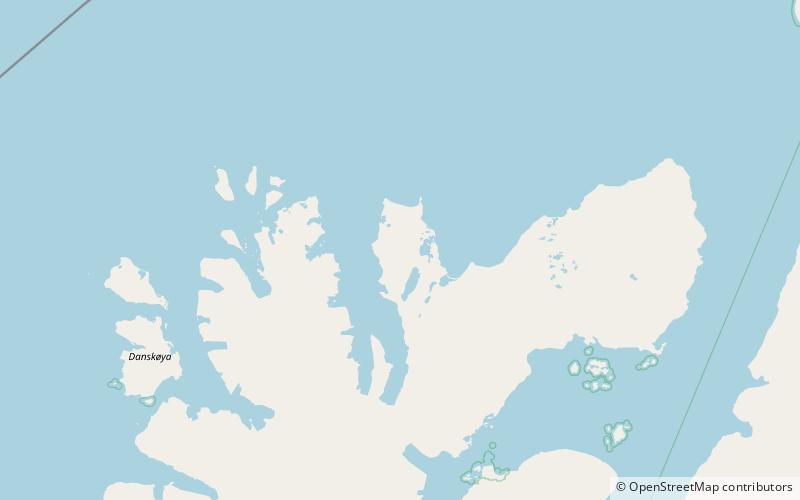
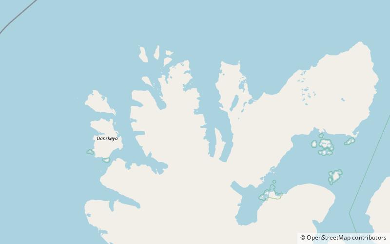
Biscayarfonna is an ice cap in Spitsbergen, Svalbard. It has an elevation of 467 m, and is located on the Haakon VII Land peninsula between Raudfjorden in the west and Breibogen bay in the east. This ice cap is named after Biscay in honour of the Basque whalers who hunted at Spitsbergen in the 17th and 18th centuries. ()
Coordinates: 79°47'22"N, 12°16'40"E
Address
Nordvest-Spitsbergen National Park
ContactAdd
Social media
Add
Day trips
Biscayarfonna – popular in the area (distance from the attraction)
Nearby attractions include: Stortinden.

