Stygghøin, Rondane National Park

Map
Facts and practical information
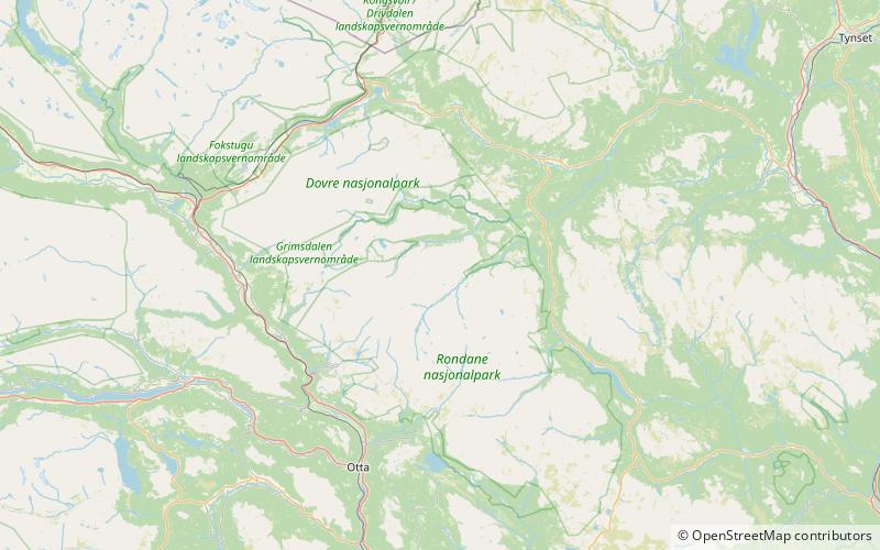
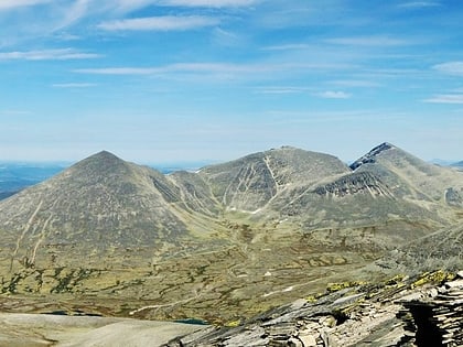
Stygghøin is a mountain range in the Dovre municipality in Innlandet. The highest peak is Northeast Stygghøin which has an elevation of 1,858 meters above sea level. Other peaks in the range: ()
Address
Rondane National Park
ContactAdd
Social media
Add
Day trips
Stygghøin – popular in the area (distance from the attraction)
Nearby attractions include: Høgronden, Gråhøe, Trolltinden, Digerronden.


