Valderøy Tunnel, Ålesund

Map
Facts and practical information
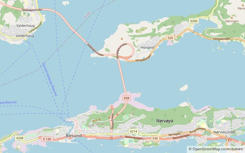
The Valderøy Tunnel is a subsea road tunnel which runs between the islands of Ellingsøya and Valderøya in Møre og Romsdal county, Norway. The 4,222-metre long tunnel is part of Norwegian National Road 658. The 3-lane wide tunnel has a maximum height of 4.6 metres. The tunnel reaches a maximum depth of 137 metres below sea level. It was built in 1987 as part of the Vigra Fixed Link project. It was a toll road until 25 October 2009. ()
Address
Ålesund
ContactAdd
Social media
Add
Day trips
Valderøy Tunnel – popular in the area (distance from the attraction)
Nearby attractions include: Color Line Stadion, Jugendstilsenteret, Ålesund kirke, Volsdalen Church.
Frequently Asked Questions (FAQ)
Which popular attractions are close to Valderøy Tunnel?
Nearby attractions include Ellingsøy Tunnel, Ålesund (1 min walk), Vigra Fixed Link, Ålesund (11 min walk).
How to get to Valderøy Tunnel by public transport?
The nearest stations to Valderøy Tunnel:
Ferry
Bus
Ferry
- Ålesund hurtigbåtkai Skateflukaia • Lines: 24, Hareid-Valderøy-Ålesund (31 min walk)
- Ålesund (31 min walk)
Bus
- Ålesund rutebilstasjon (37 min walk)


