Ruøya, Aure

Map
Facts and practical information
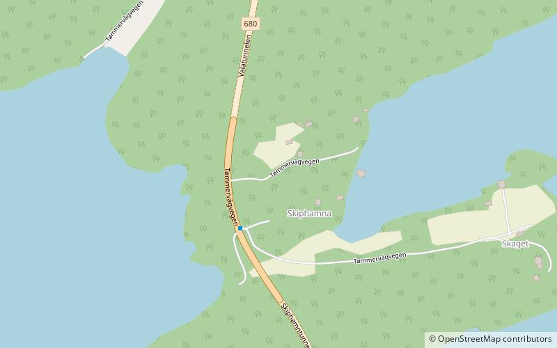
Ruøya is an island in Aure Municipality in Møre og Romsdal county, Norway. It is connected to the village of Aure on the mainland to the east by the Aursund Bridge and to the island of Rottøya to the south by the Smalsund Bridge. The large island of Ertvågsøya lies to the west. ()
Area: 192.74 acres (0.3012 mi²)Maximum elevation: 243 ftCoordinates: 63°16'0"N, 8°29'50"E
Address
Aure
ContactAdd
Social media
Add
Day trips
Ruøya – popular in the area (distance from the attraction)
Nearby attractions include: Aure Church, Mjosund Bridge, Aursund Bridge, Ertvågsøy.


