Sør-Hidle

Gallery (1)
Map
Map
Facts and practical information
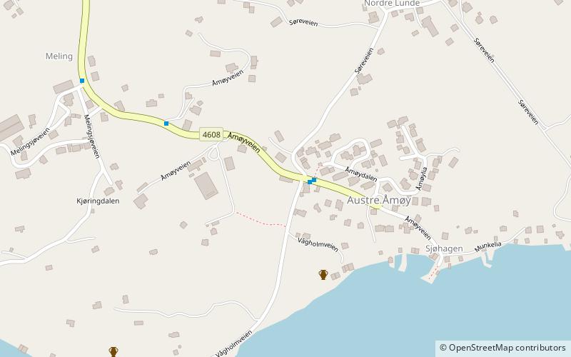
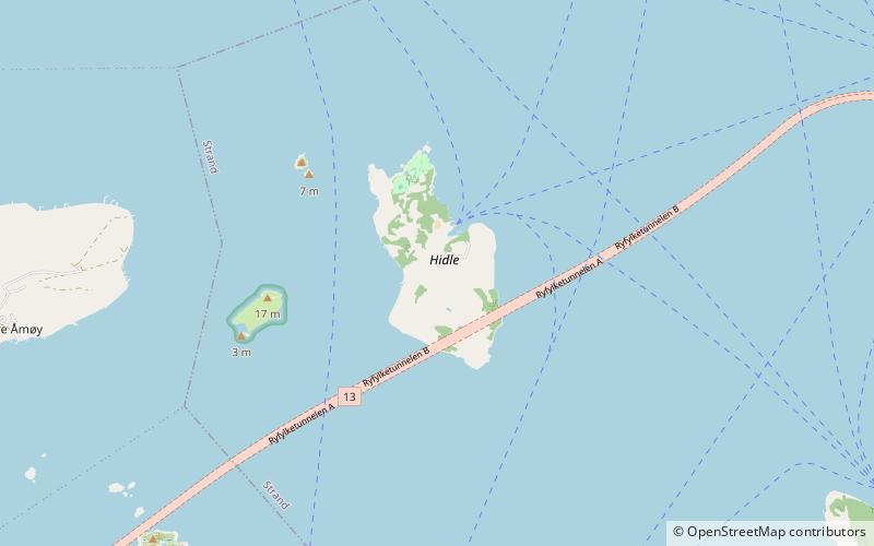
Hidle or Sør-Hidle is an island in Strand municipality in Rogaland county, Norway. The 1.4-square-kilometre island lies at the southeastern edge of a large archipelago of islands located between the Boknafjorden and the mouth of the Høgsfjorden, just to the northeast of city of Stavanger. The village of Tau lies about 5 kilometres east of the island. The island of Åmøy lies a short distance to the west of Hidle and the island of Heng lies a short distance to the southeast. ()
Location
Rogaland
ContactAdd
Social media
Add
Day trips