Bøyabreen, Jostedalsbreen National Park

Gallery (1)
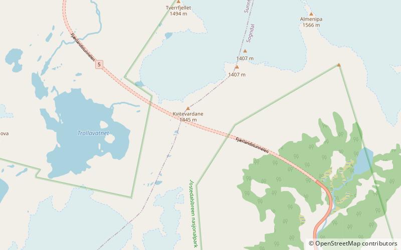
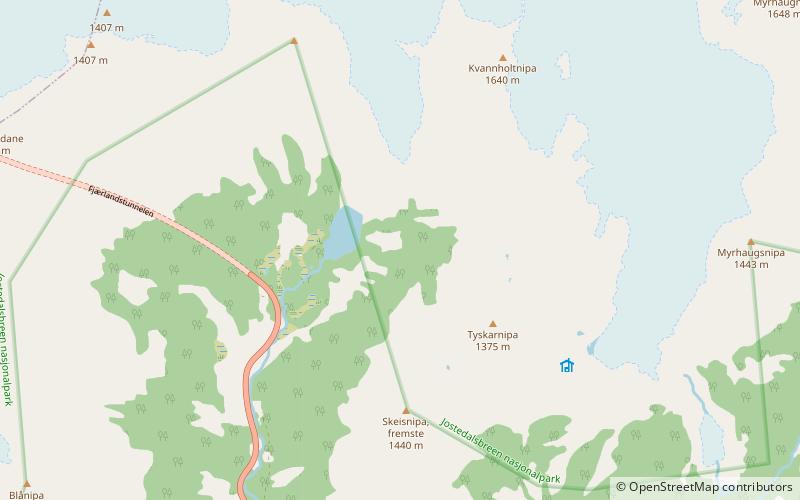
Map
Map
Facts and practical information
Bøyabreen is a glacier in the Fjærland area of Sogndal Municipality in Vestland county, Norway. It is located inside Jostedalsbreen National Park, and it is a side branch of the large Jostedalsbreen glacier. ()
Alternative names: Maximum elevation: 5577 ftMinimal elevation: 984 ftCoordinates: 61°28'60"N, 6°46'0"E
Address
Jostedalsbreen National Park
ContactAdd
Social media
Add
Day trips