Øvresetertjern, Oslo
Map
Gallery
Facts and practical information
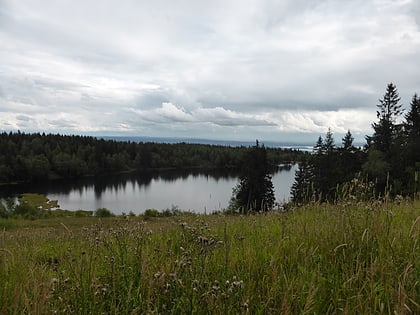
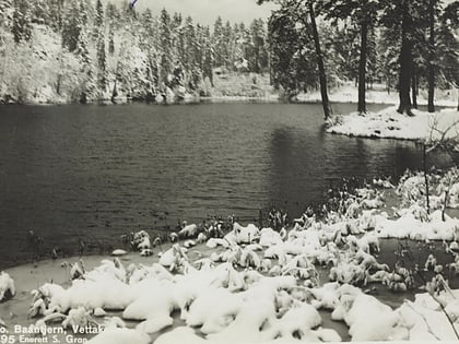
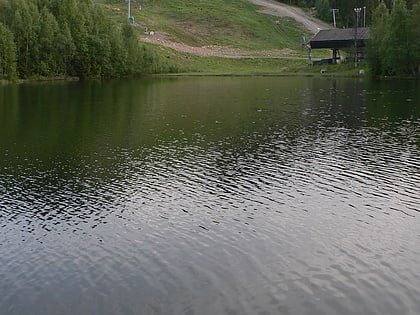
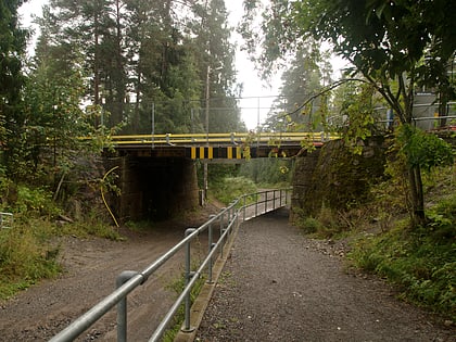
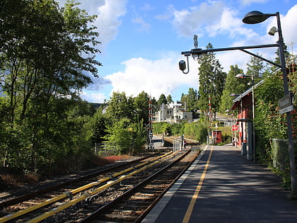
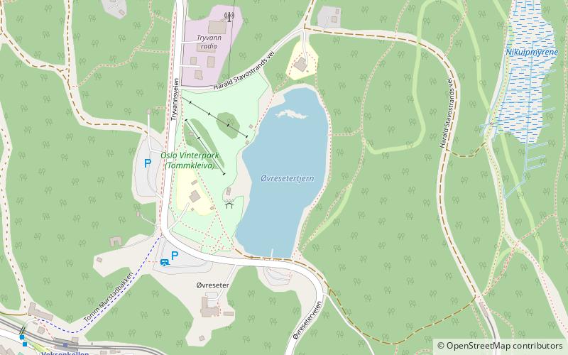
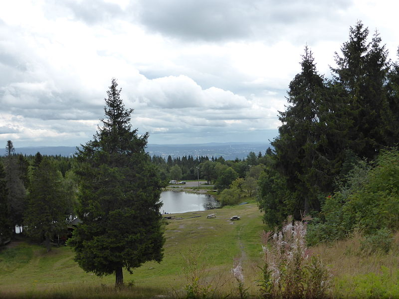
Øvresetertjern is a lake in Oslo, Norway. It is located 477 metres over sea level between the top of the hill Tryvannshøyden and Frognerseteren. From 1916 to 1938, the station Tryvandshøiden was located north of the lake, but it was never served by regular passenger trains. ()
Elevation: 1578 ft a.s.l.Coordinates: 59°58'57"N, 10°40'19"E
Address
Oslo
ContactAdd
Social media
Add
Day trips
Øvresetertjern – popular in the area (distance from the attraction)
Nearby attractions include: Holmenkollen, Tryvann Ski Resort, Holmenkollen Ski Museum, Holmenkollen Chapel.
Frequently Asked Questions (FAQ)
Which popular attractions are close to Øvresetertjern?
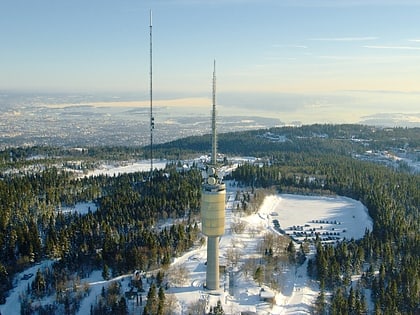
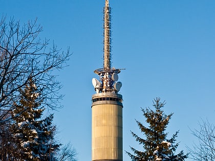
Nearby attractions include Tryvannshøyden, Oslo (11 min walk), Tryvannstårnet, Oslo (12 min walk), Voksenåsen, Oslo (19 min walk).
How to get to Øvresetertjern by public transport?
The nearest stations to Øvresetertjern:
Metro
Train
Metro
- Frognerseteren (8 min walk)
- Voksenkollen (8 min walk)
Train
- Frognerseteren (8 min walk)
- Lillevann (18 min walk)
